 HCBC
HCBCBarriere and District Horse Trails Located in the Thompson Okanagan
Recent Images
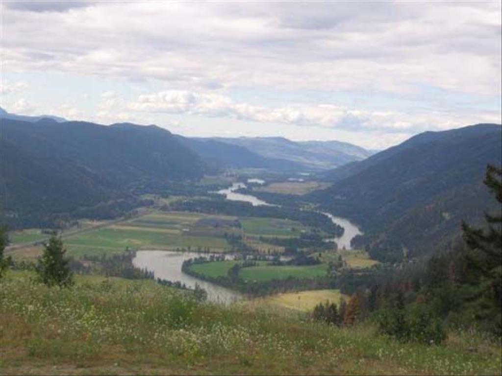
Barriere and District Horse Trails
Note: Also check under Upload/Download tab to see if there are more maps available. If the map below shows red lines, these indicate ridable trails which can be downloaded to your GPS (see Upload/Download tab)
Legend
Barriere and District Horse Trails Comments Want To Get Involved? Post Comment
Jennifer Szezepaniak
http://www.norththompson.ca/trailguide/ntv_trail_guide.html posted on: 10 / 13 / 2016
The link posted here for the updated version of the trail guide doesn't work. Only get the message, page not found. Any chance of getting an updated version of the trail guide?
Note: All of our Geo-Referenced PDF maps are available for free from the Avenza from the Map Store. These maps can be used with the Avenza Maps app on GPS enabled Smartphones and tablets.
GPX Upload
Rode this trail? Show the HCBC Trail Community Which Route You Ride
HCBC monitors the integrity of the GPX files uploaded prior to posting on this website. We will contact you via your email if your track is suitable for an Avenza Map.
Name:
Email:
Image Upload
Saw Something Cool? Share it with the HCBC Trail Community
HCBC monitors the integrity of all images and comments posted on this website. Please allow us 24 hours to review the Images uploaded for this trail before they appear on our website. Thank you


