Bonaparte Provincial Park

Back Country Trail
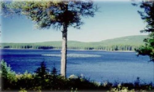
Set on the Bonaparte Plateau, a large mid-elevation plateau lake setting has no roads. The area has wild fish stocks and high wilderness recreation values for hiking, canoeing, wildlife viewing, hunting, and adventure tourism. There are unique geological features including the volcanic plug of Skoatl Point and Stockton Hill south of Bare Lake. Only very rustic camping sites exist, so visitors must be self-sufficient and be prepared for wilderness camping. The park also contains many trails and four fly-in fishing resorts.
Kamloops
Park Size: 11,811 hectares
51.153794
-120.512199
wilderness camping
Persons wishing to ride horses in this park must first obtain permission from Parks and Protected Areas Program, Thompson Region at: 250 371-6200 There is a Forest Recreation Site with pit toilets and picnic tables just outside the southeast corner of the park, at Windy Lake. This site is accessible by vehicle and makes a good base for hiking to Skoatl Point and exploring the southern part of the park. User-maintained very rustic campsites exist at various lakes. Note that there are privately-owned resorts offering guided fishing and accommodation. More info at the BC Parks site: http://www.env.gov.bc.ca/bcparks/explore/parkpgs/bonaparte/
Note: Also check under Upload/Download tab to see if there are more maps available. If the map below shows red lines, these indicate ridable trails which can be downloaded to your GPS (see Upload/Download tab)
The park is located on the Bonaparte Plateau south of Bonaparte Lake, approximately 55 km northwest of Kamloops. The park is accessed via logging roads up Jamieson Creek, which is 25 km north of Kamloops on the Westsyde road. Roads are limited, with access by floatplane and horse. A Forest Recreation Site with pit toilets and picnic tables is just outside the southeast corner of the park, at Windy Lake. This site is accessible by vehicle and makes a good base for hiking to Skoatl Point and exploring the southern part of the park.

Legend

Required
Your email address will not be displayed. This is only so we may contact you if we need to clarify something in your comment.
Required
Required
Required
Note: All of our Geo-Referenced PDF maps are available for free from the Avenza from the Map Store. These maps can be used with the Avenza Maps app on GPS enabled Smartphones and tablets.

GPX Upload
Rode this trail? Show the HCBC Trail Community Which Route You Ride

HCBC monitors the integrity of the GPX files uploaded prior to posting on this website. We will contact you via your email if your track is suitable for an Avenza Map.

Name:

Email:

Please upload GPX files only.


Image Upload
Saw Something Cool? Share it with the HCBC Trail Community

HCBC monitors the integrity of all images and comments posted on this website. Please allow us 24 hours to review the Images uploaded for this trail before they appear on our website. Thank you

Please upload jpeg images only.