 HCBC
HCBCTabor Mountain Trails Located in the Cariboo, Central & Northeast
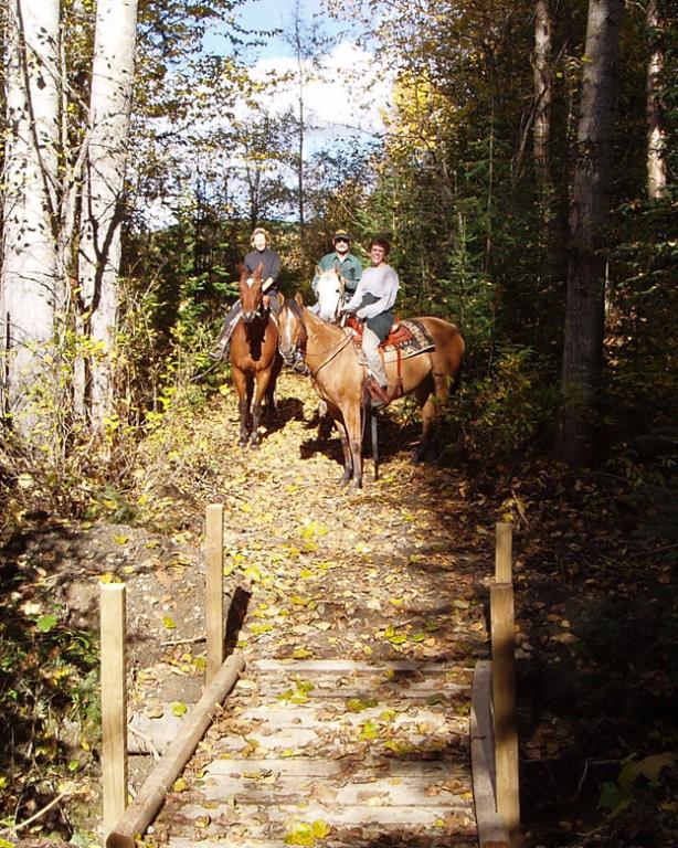
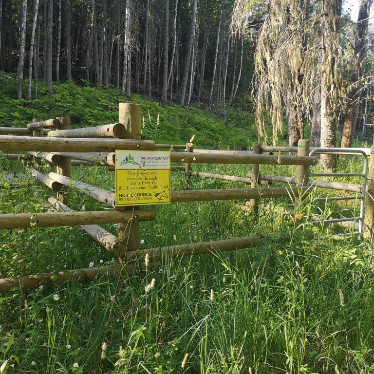
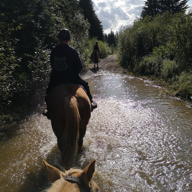
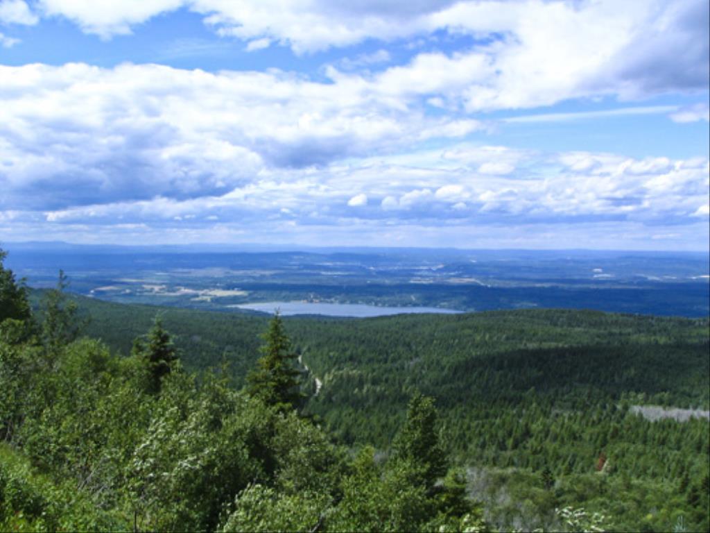
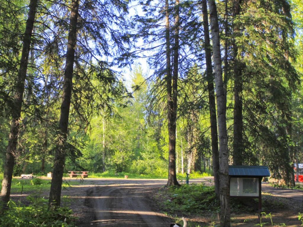
Recent Images
Tabor Mountain Trails
Legend
Tabor Mountain Trails Comments Want To Get Involved? Post Comment
Tabor Mountain Trails - directions posted on: 06 / 13 / 2018
The directions are a bit confusing. There IS a parking site and (at this point) unmaintained /poorly marked trails off of Hwy 16 East, but the best place to park/access/camp is from Hwy 97S (just 15 minutes from PG) off of Buckhorn then Scott Road at this point in time (June 2018)
Horse camp posted on: 12 / 10 / 2013
Yes Dayna, I do believe the access for the horse camp is off of Hwy 97S. Hwy 97S to Buckhorn Lake Rd. Follow Buckhorn Lk Rd go around the first bend and turn left almost right away onto Scott Rd. Follow the PG Snowmobile Club signs. The camp is just before the snowmobile clubhouse parking on your right. Just keep following Scott Rd until almost the end.
Access to Tabor Mtn posted on: 08 / 24 / 2012
Sadly, my husband and I were unable to find the access point to the horse camp off Hwy 16. When on our way home a road worker near the town of Hixon thought that the access was off Buckhorn and Scott. Could someone who has been to the Tabor Mtn horse camp please confirm with accurate directions as the area looked stunning? Many thanks.
GPX Upload
Rode this trail? Show the HCBC Trail Community Which Route You Ride
HCBC monitors the integrity of the GPX files uploaded prior to posting on this website. We will contact you via your email if your track is suitable for an Avenza Map.
Name:
Email:
Image Upload
Saw Something Cool? Share it with the HCBC Trail Community
HCBC monitors the integrity of all images and comments posted on this website. Please allow us 24 hours to review the Images uploaded for this trail before they appear on our website. Thank you


