Height of the Rockies Provincial Park

Provincial Park
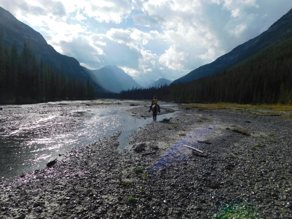
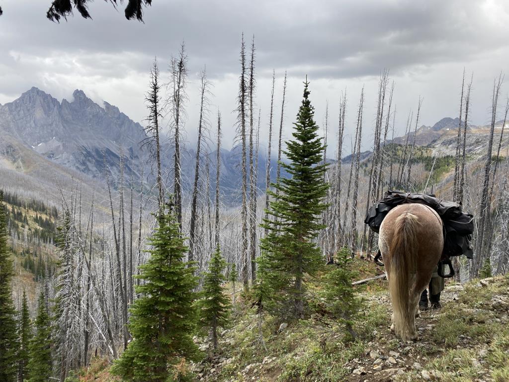
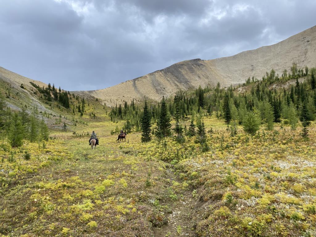
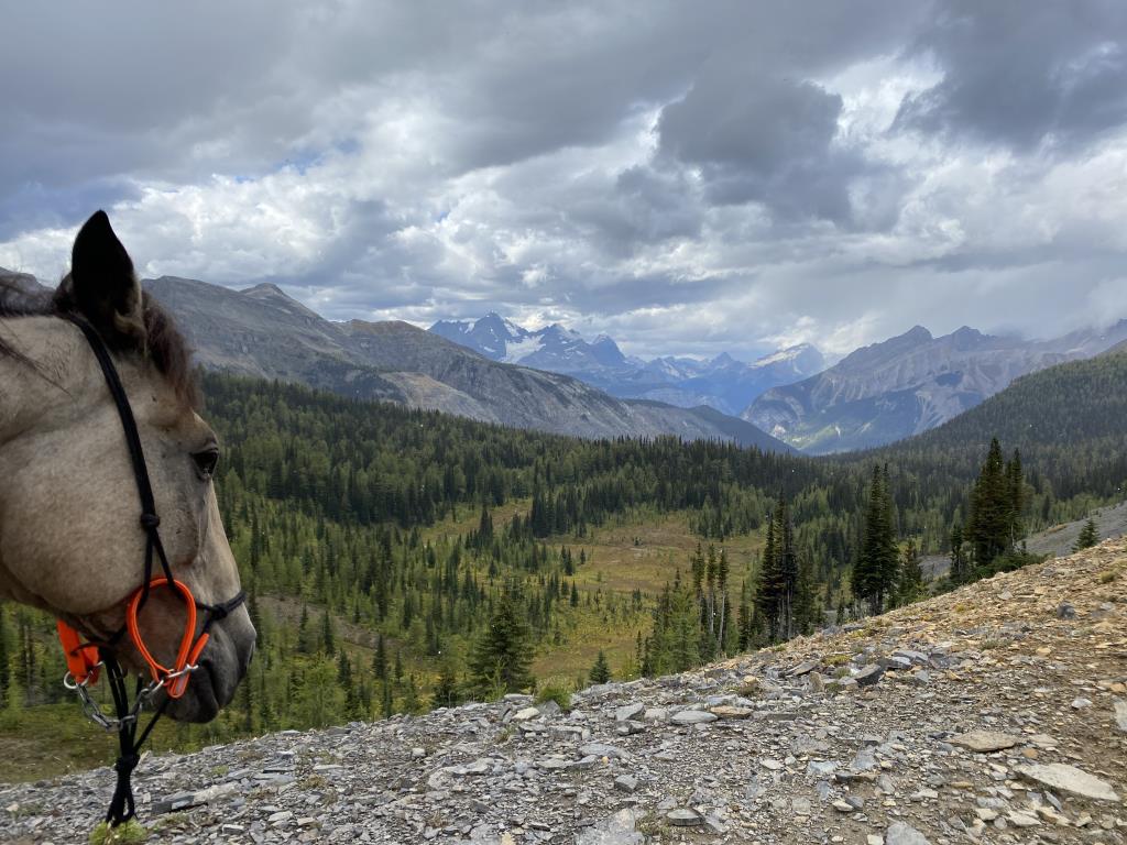
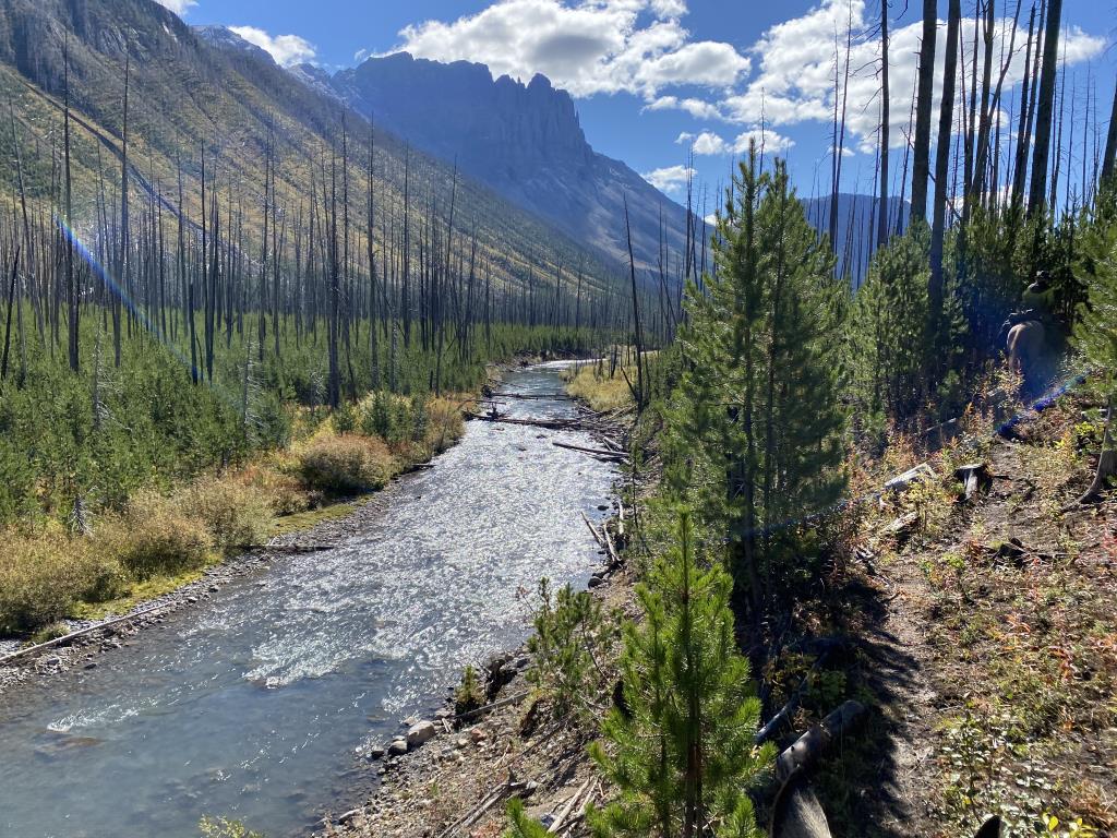
Height of the Rockies Provincial Park plays an important role in connecting a protected area network lying north and south along the Great Divide. This park has internationally significant biodiversity values and sustains quality habitat for a wide array of animals and plants including grizzly bear and mountain goats. From the lower elevations, such as the Palliser River valley at 1300 metres, to Mount Joffre at 3449 metres, the area protects both lush forests and permanent icefields. Seven major mountain passes and several distinct drainages provide the geographical and visual diversity that characterize the magnificent southern Rocky Mountains.
Elkford, Canal Flats, Radium Hot Springs
50.489786
-115.22924
Bring your own drinking water. Potable water not available.
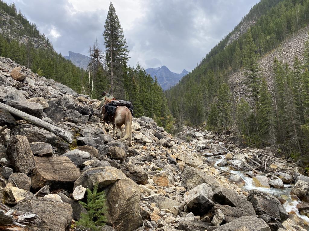
Horseback riding is permitted. There are some trailhead corrals. As grazing is limited, feed should be packed into Sylvan Pass, Queen Mary Lake and Middle Fork White River meadows. Use pellets as they do not contain weed seeds. Routes are also not maintained and, at best, include intermittent stretches where a beaten path is available. Moderate scrambling and travel through fairly dense undergrowth and occasionally through tangled slide areas is required. These routes offer excellent scenic opportunities; however, they are not recommended for innexperienced riders. Route-finding skills and an aptitude for orienteering are essential, and visitors need to obtain the appropriate topographical maps prior to arrival. Off-trail travel increases your chances of encountering a bear – travel cautiously! For more information and important visitor notices visit the BC Parks website .
Note: Also check under Upload/Download tab to see if there are more maps available. If the map below shows red lines, these indicate ridable trails which can be downloaded to your GPS (see Upload/Download tab)
Height of the Rockies park is adjacent to Banff National Park, Elk Lakes Park, and Peter Lougheed Park in Alberta. There are six major trailheads accessible by summer logging roads: from Canal Flats on Hwy 93/95 via the Whiteswan and White River roads ( turn east 4.5 km south of Canal Flats), from Sparwood on Hwy 3 turn north to Elkford, then follow the Elk River road, OR from Highway 93, from Kootenay National Park access Settlers Road through to the Palliser and Albert River roads. The park is also accessible by trail routes from Banff, Elk Lakes and Peter Lougheed parks. The community of Elkford is the closest community when accessing Height of the Rockies from the southern portion of the park. Canal Flats and Radium Hot Springs are the closest communities when accessing the park from the west.

Legend

Required
Your email address will not be displayed. This is only so we may contact you if we need to clarify something in your comment.
Required
Required
Required
Note: All of our Geo-Referenced PDF maps are available for free from the Avenza from the Map Store. These maps can be used with the Avenza Maps app on GPS enabled Smartphones and tablets.

GPX Upload
Rode this trail? Show the HCBC Trail Community Which Route You Ride

HCBC monitors the integrity of the GPX files uploaded prior to posting on this website. We will contact you via your email if your track is suitable for an Avenza Map.

Name:

Email:

Please upload GPX files only.


Image Upload
Saw Something Cool? Share it with the HCBC Trail Community

HCBC monitors the integrity of all images and comments posted on this website. Please allow us 24 hours to review the Images uploaded for this trail before they appear on our website. Thank you

Please upload jpeg images only.