South Canoe Trails

Day Ride Trail
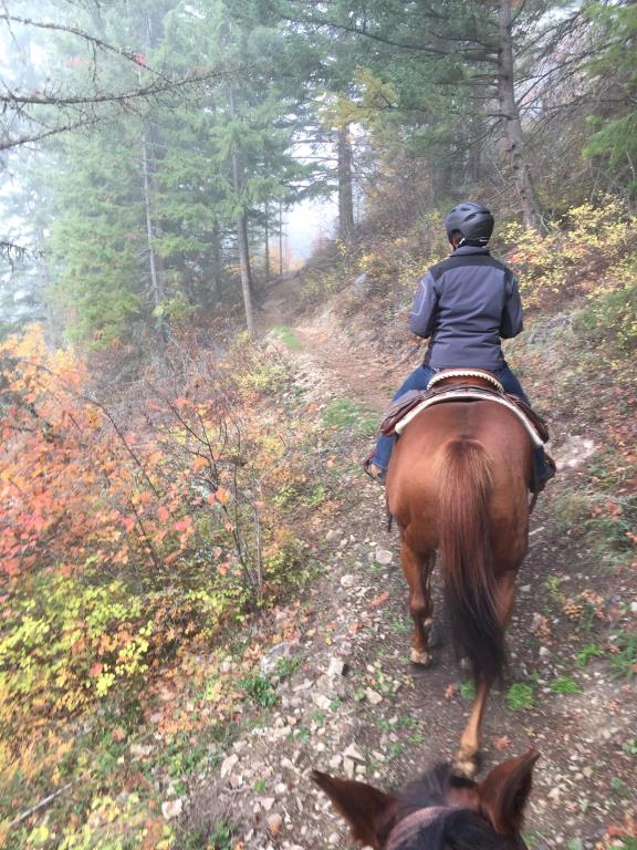
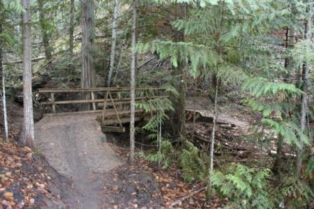
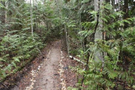
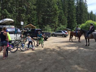
The South Canoe Trail System is busy trail destination with a large network of trails for hikers, mountain bikers, and equestrians. It also provides access to the Larch Hills trail system, as well as the Larch Hills Traverse. In addition, ATV and motorcycles use the forestry road during the summer. The South Canoe trail system is accessible to nearby equestrian stables like Top Line and Brookside. As part of improved equestrian friendly trails in the area, the new Hobby Horse trail starts right at the trailhead and weaves its way to the top of the first bench. New trail signs indicate which trails are mountain bike, EQ, or shared. All trails are open to hikers (but use downhill mountain bike trails with caution).
Salmon Arm, Sicamous
Larch Hills Trail System
1 - 12 km (various loops)
Variable: 0.5 - 2.5 hours
50.69264
-119.20389
There is a water tap - non-potable water for horses at the Klahanie parking area. Limited creek water on trails which dries up come summer months.
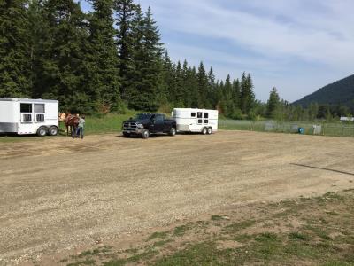
Please do not park horse trailers at the trail head. A large parking area for Horse trailers is located .5 km west of the trailhead at Klahanie Park on the north side of 10th Ave SE. Park at the north end by the ball diamonds. There is washroom facilities and a non-potable water tap. Ride between the ball diamonds and follow the trail to the right around the gravel pit. The trail continues east beside 10th Ave where you will come to the S. Canoe Trailhead.
The trail difficulty ranges from easy to difficult depending on which loop you ride. There are horse/ hike only, Mountain bike/hike only and multi-use trails. Water can be found on the trail from small streams. Please note that these streams do dry up during the summer months. There is a washroom at Klahanie Park and at the trailhead. visit www.shuswaptrails.com/trails for the most current information on the S Canoe Trails
Note: Also check under Upload/Download tab to see if there are more maps available. If the map below shows red lines, these indicate ridable trails which can be downloaded to your GPS (see Upload/Download tab)
How to get to South Canoe Trail system: (a 10 minute drive east of Salmon Arm): East of Salmon Arm on Hwy 1, turn south at the Hwy 97B intersection and travel 2 km, then turn left/east onto 10th Ave. SE. Travel 1 km to Klahanie Park, 6391 10th Ave SE turn left into park and head to north end of the parking area. MAPS: The Columbia Shuswap Regional District GIS team has taken the lead on Geo-Referced PDF Maps. Go to Shuswaptrails.com/trails select Salmon Arm & Area select South Canoe. The Geo-Ref link is in the description. Print or upload to your mobile app Avenza.

Legend

Required
Your email address will not be displayed. This is only so we may contact you if we need to clarify something in your comment.
Required
Required
Required
Note: All of our Geo-Referenced PDF maps are available for free from the Avenza from the Map Store. These maps can be used with the Avenza Maps app on GPS enabled Smartphones and tablets.

GPX Upload
Rode this trail? Show the HCBC Trail Community Which Route You Ride

HCBC monitors the integrity of the GPX files uploaded prior to posting on this website. We will contact you via your email if your track is suitable for an Avenza Map.

Name:

Email:

Please upload GPX files only.


Image Upload
Saw Something Cool? Share it with the HCBC Trail Community

HCBC monitors the integrity of all images and comments posted on this website. Please allow us 24 hours to review the Images uploaded for this trail before they appear on our website. Thank you

Please upload jpeg images only.

Geo-Ref maps for Avenza Maps App on mobile devices

Note: If you are on a computer, you can print these maps. If you using a mobile device, then these maps are available to download from the Avenza Map Store within the Avenza app.