 HCBC
HCBCSpruston Road Rec Site and Trail System Located in the Vancouver Island-Central Coast
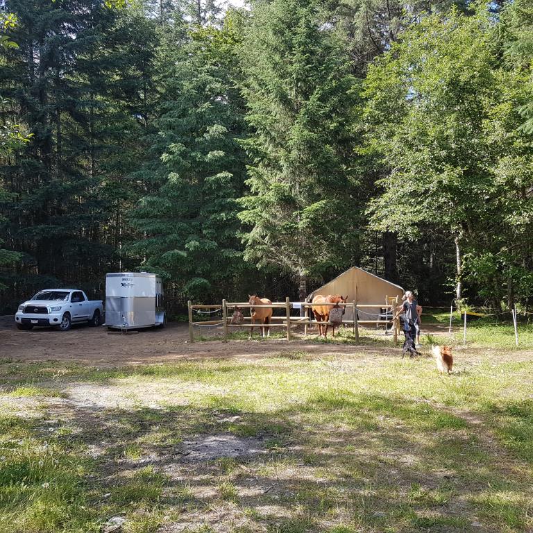
Recent Images
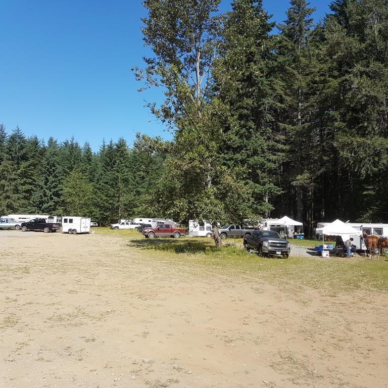
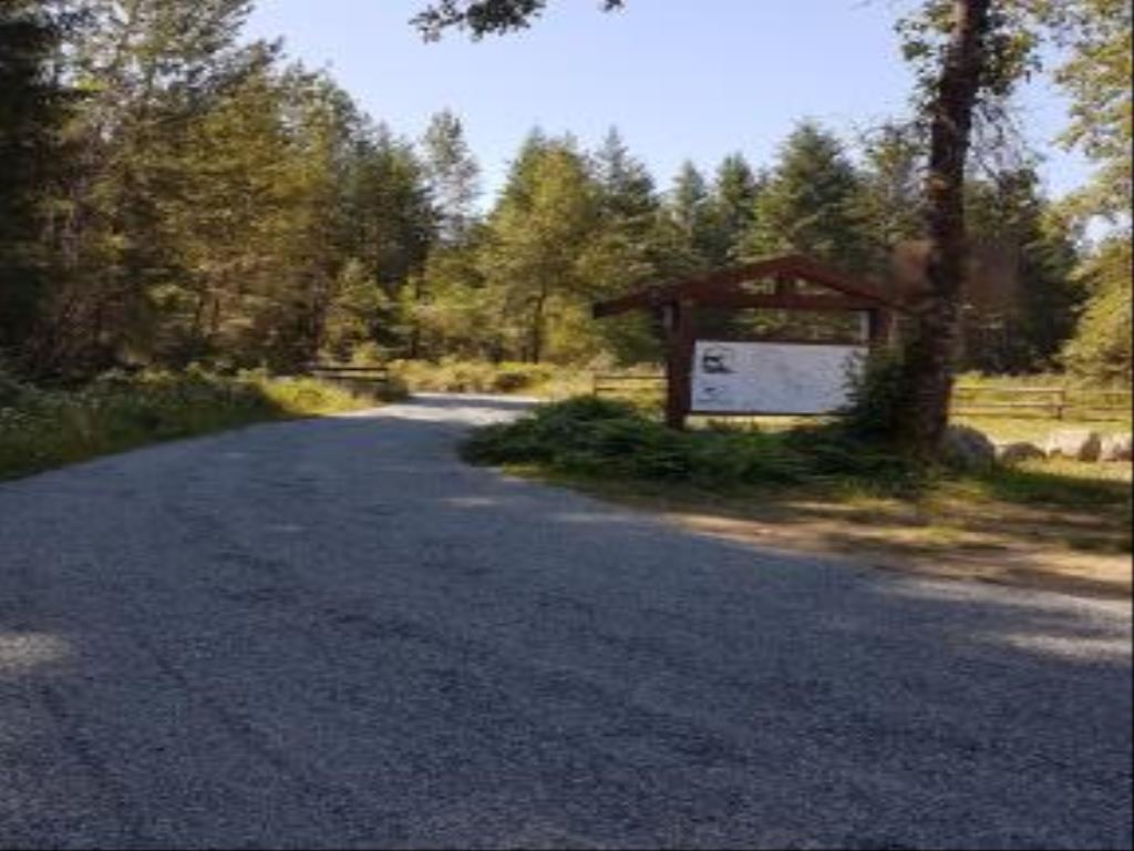
Spruston Road Rec Site and Trail System
Note: Also check under Upload/Download tab to see if there are more maps available. If the map below shows red lines, these indicate ridable trails which can be downloaded to your GPS (see Upload/Download tab)
Legend
Spruston Road Rec Site and Trail System Comments Want To Get Involved? Post Comment
Admin
Key Code Required posted on: 08 / 23 / 2022
Due to vandalism this rec site is now protected with a locked gate. To get the key code you are required to be a Back Country Horsemen of BC (BCHBC) member. To sign up for a membership go to www.bchorsemen.org
Sharon Pickthorne
Spruston map on your phone posted on: 07 / 18 / 2018
A geo-ref map is available on Avenza Maps, on your smartphone. No data or cell phone service is needed to use it. See info under Directions/Map tab.
Note: All of our Geo-Referenced PDF maps are available for free from the Avenza from the Map Store. These maps can be used with the Avenza Maps app on GPS enabled Smartphones and tablets.
GPX Upload
Rode this trail? Show the HCBC Trail Community Which Route You Ride
HCBC monitors the integrity of the GPX files uploaded prior to posting on this website. We will contact you via your email if your track is suitable for an Avenza Map.
Name:
Email:
Image Upload
Saw Something Cool? Share it with the HCBC Trail Community
HCBC monitors the integrity of all images and comments posted on this website. Please allow us 24 hours to review the Images uploaded for this trail before they appear on our website. Thank you
Geo-Ref maps for Avenza Maps App on mobile devices
Note: If you are on a computer, you can print these maps. If you using a mobile device, then these maps are available to download from the Avenza Map Store within the Avenza app.


