 HCBC
HCBCGardner Trail Located in the Thompson Okanagan
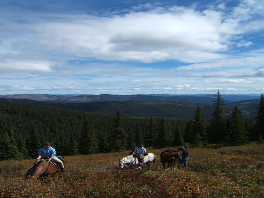
Recent Images
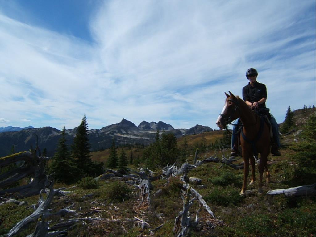
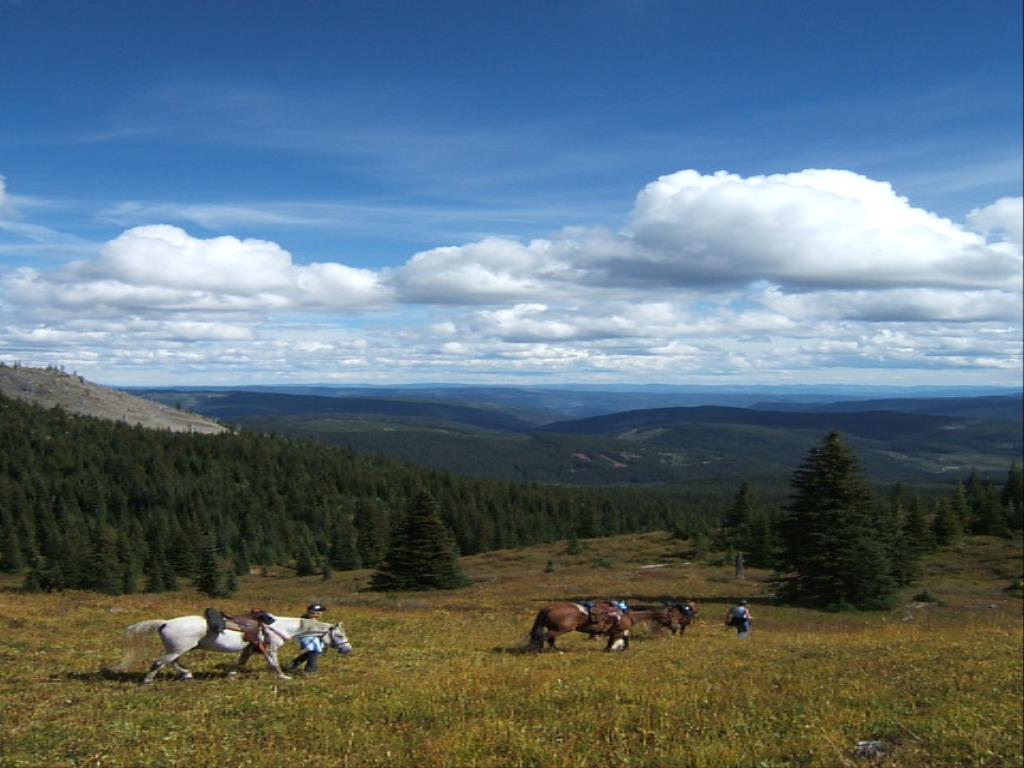
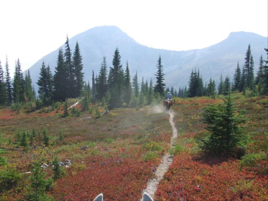
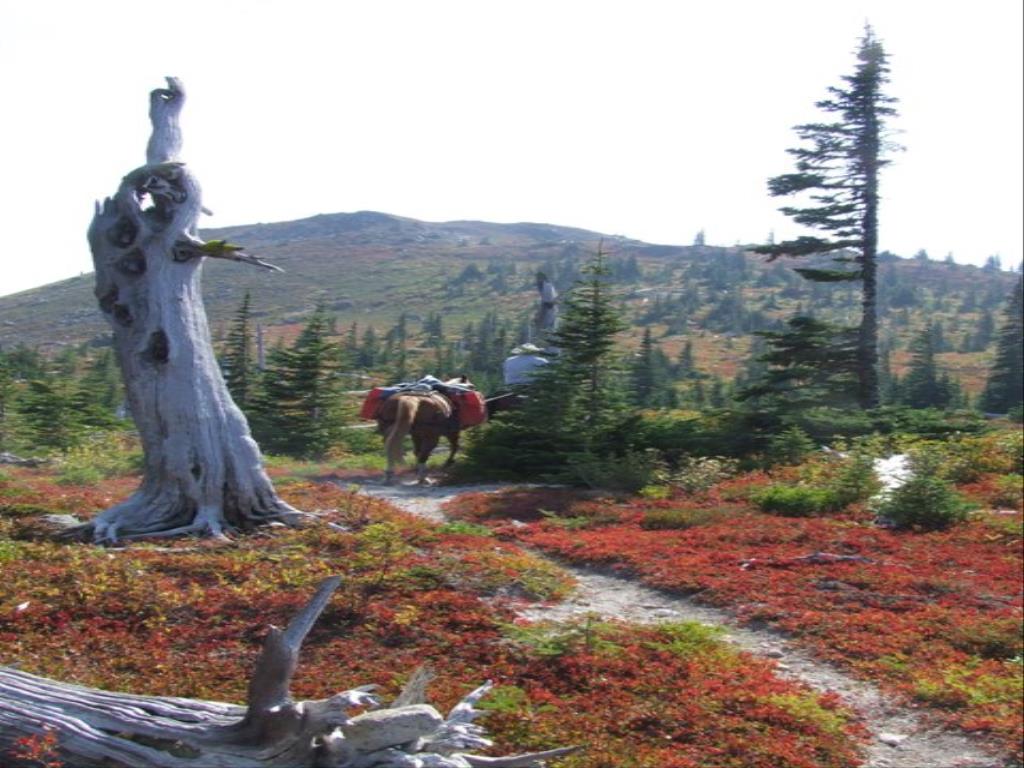
Gardner Trail
Legend
Gardner Trail Comments Want To Get Involved? Post Comment
Gardner Trail posted on: 08 / 21 / 2022
most people now access the Gardner trail from the RSTBC Snowmobile and ATV Staging area near 10k, Take the old skidder road up the hill. As of August 21, 2022 the trail is only cleared about 1/2 way.
Gardner Trail corrals posted on: 06 / 04 / 2018
the old corrals are pretty well non existent anymore. Only a post or two still standing. Look for the wide turnout on the left where 2 old skidders trails exit the main road. Across the road in the small green space is where the corral used to be and the trail heads up the hill behind it. Usually doesn't get cleared of windfall until August.
GPX Upload
Rode this trail? Show the HCBC Trail Community Which Route You Ride
HCBC monitors the integrity of the GPX files uploaded prior to posting on this website. We will contact you via your email if your track is suitable for an Avenza Map.
Name:
Email:
Image Upload
Saw Something Cool? Share it with the HCBC Trail Community
HCBC monitors the integrity of all images and comments posted on this website. Please allow us 24 hours to review the Images uploaded for this trail before they appear on our website. Thank you


