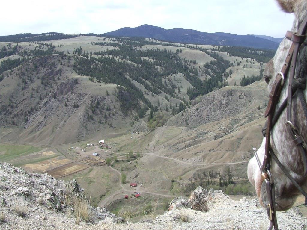
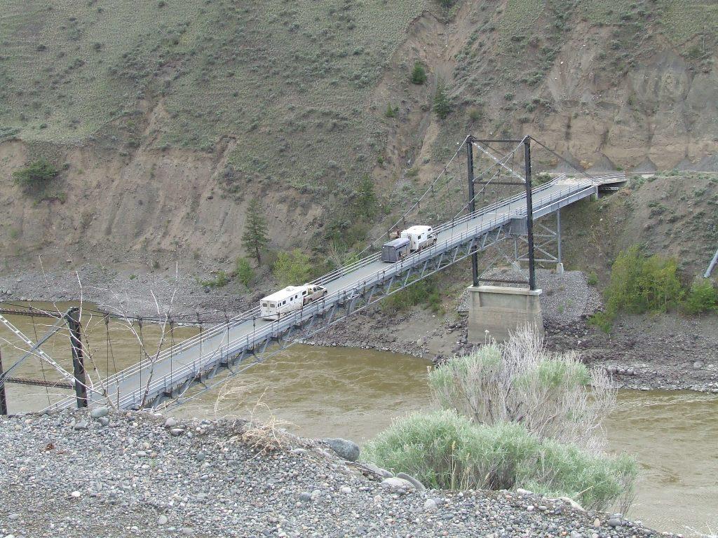
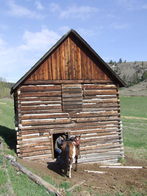
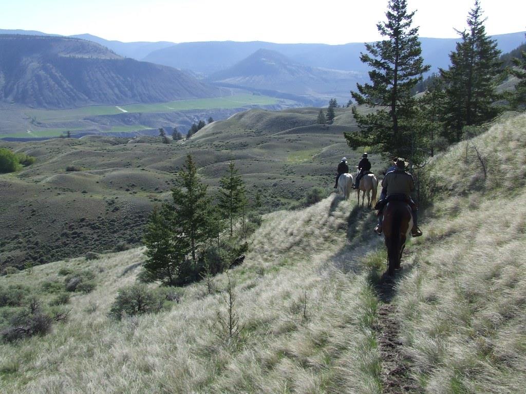
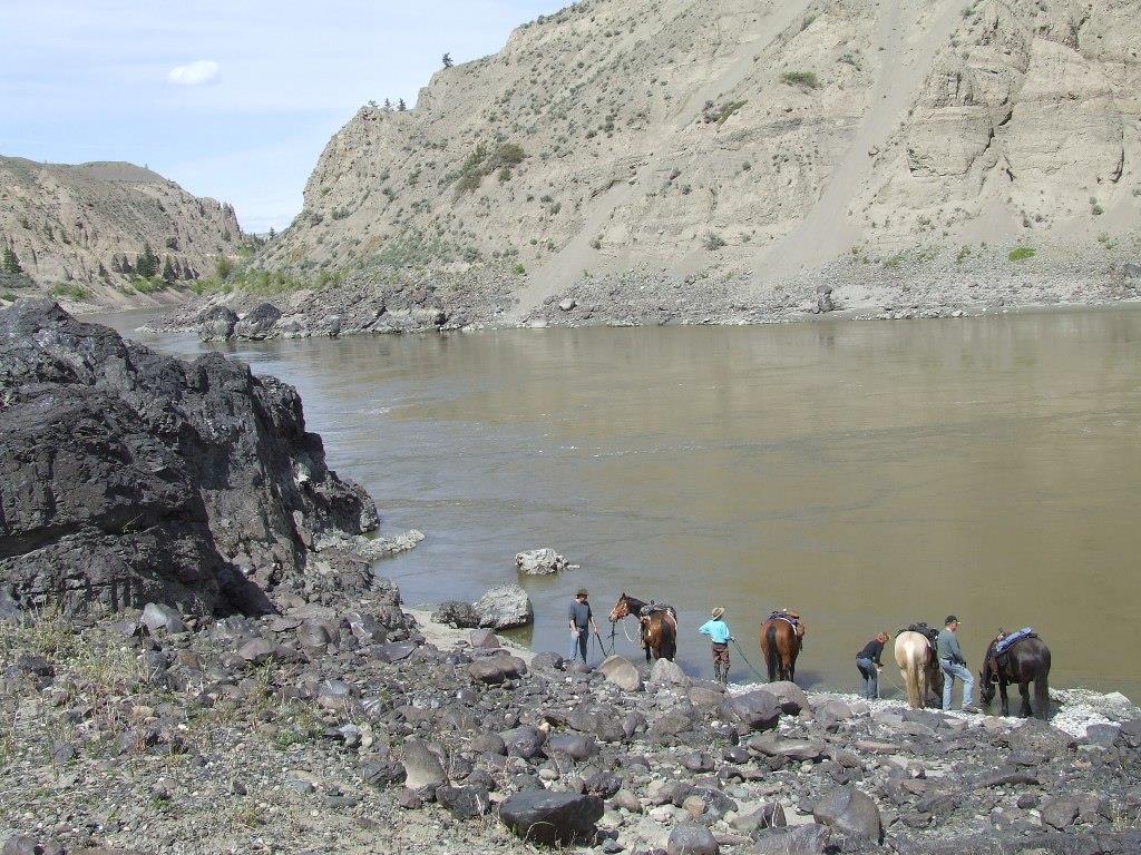
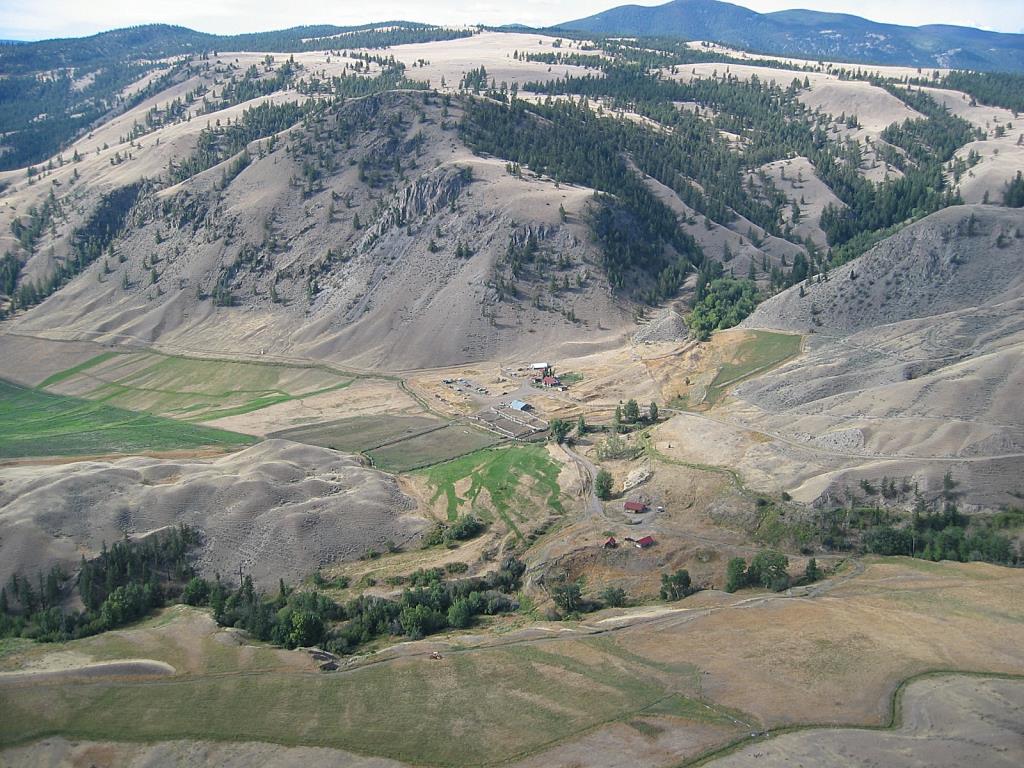
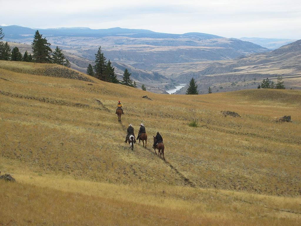
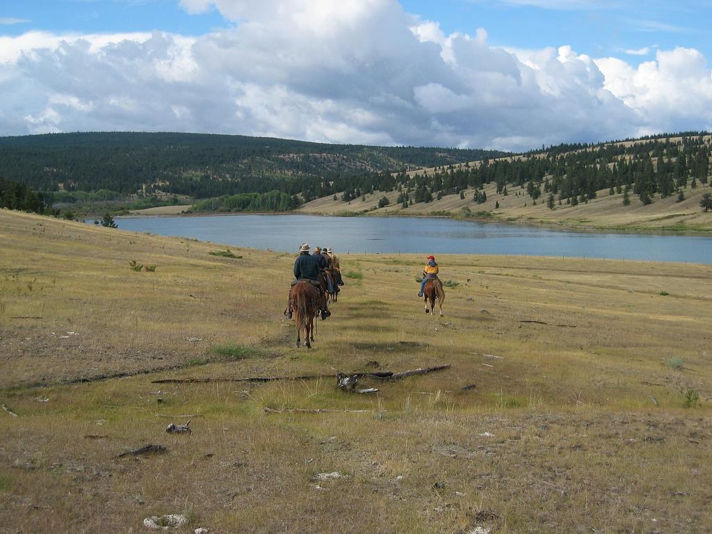
Churn Creek Protected Area/Empire Valley

Horse Camping Site
The Churn Creek Protected Area is 36,100 hectares of bunchgrass and pine and fir forests. It has a rich history of First Nations People, packers, miners and industrious Chinese, whose ditch work can still be seen today. Ranching has been going on here since the early 1860's. Since 1998, it has included the Empire Valley Ranch, a family operated cattle ranch, within the Protected area. There is camping at the Calving Barn which includes a pit toilet, corrals and a spring approximately 150 yards from the campsite. The spring has been known to go dry, but there is a pump at the Ranch Headquarters Day Use area, 4 km from the Calving Barn. Another thing to note is that hay is to be purchased from the Empire Valley Ranch to avoid the introduction of weeds and non native grasses.
Clinton
51.440124
-122.275662
Yes
Yes
Yes
Roads extremely slippery when wet - see Rose Schroeder's story on the BCHBC trails site. For more information and important visitor updates visit the BC Parks website .
Note: Also check under Upload/Download tab to see if there are more maps available. If the map below shows red lines, these indicate ridable trails which can be downloaded to your GPS (see Upload/Download tab)
The Churn Creek Protected Area is a remote area, north and west of Clinton B.C. It is reached by following the Meadow Lake Road, 70km west, out to the Fraser River, crossing the river on the metal bridge and taking the left fork to Empire Valley (right fork goes to the Gang Ranch).

Legend

Ruth Donald

More on Churn Creek posted on: 09 / 17 / 2010

Visit the Horse Camping Sites page for more info, and a link to Rose Schroeder's article with photos.


Rose Schroeder

Churn Creek/Empire Valley posted on: 09 / 11 / 2009

take a good topo map. Trails are not marked, most are cattle paths or sheep trails, old logging and mining roads. Instead of hauling water all the way from the ranch, if the spring is dry there is a good watering trough up on the hill across from camp back to the north.


Required
Your email address will not be displayed. This is only so we may contact you if we need to clarify something in your comment.
Required
Required
Required
Note: All of our Geo-Referenced PDF maps are available for free from the Avenza from the Map Store. These maps can be used with the Avenza Maps app on GPS enabled Smartphones and tablets.

GPX Upload
Rode this trail? Show the HCBC Trail Community Which Route You Ride

HCBC monitors the integrity of the GPX files uploaded prior to posting on this website. We will contact you via your email if your track is suitable for an Avenza Map.

Name:

Email:

Please upload GPX files only.


Image Upload
Saw Something Cool? Share it with the HCBC Trail Community

HCBC monitors the integrity of all images and comments posted on this website. Please allow us 24 hours to review the Images uploaded for this trail before they appear on our website. Thank you

Please upload jpeg images only.

Additional files to Download