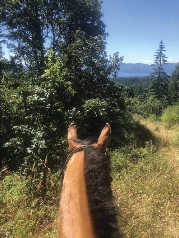
Horth Hill Trail

Day Ride Trail
Enjoy a vigorous climb through varied forest communities on one of several trails in this 36-hectare hilltop park. Rich in native plants and mushrooms, every season boasts a charming display for nature lovers. For spectacular ocean views and open sky, follow the summit trail and take in panoramic views of the Saanich Peninsula, Gulf Islands and San Juan Islands.
Victoria, Vancouver Island
48.682658
-123.437075
No
Note: Also check under Upload/Download tab to see if there are more maps available. If the map below shows red lines, these indicate ridable trails which can be downloaded to your GPS (see Upload/Download tab)
Follow the Pat Bay Highway from Victoria, and take the Wain Road exit. Follow Wain Road west to cross over the highway, then turn right on Tatlow Road, which leads to the park entrance on the right. Allow approximately 35 minutes driving time from Victoria.

Legend

Required
Your email address will not be displayed. This is only so we may contact you if we need to clarify something in your comment.
Required
Required
Required
Note: All of our Geo-Referenced PDF maps are available for free from the Avenza from the Map Store. These maps can be used with the Avenza Maps app on GPS enabled Smartphones and tablets.

GPX Upload
Rode this trail? Show the HCBC Trail Community Which Route You Ride

HCBC monitors the integrity of the GPX files uploaded prior to posting on this website. We will contact you via your email if your track is suitable for an Avenza Map.

Name:

Email:

Please upload GPX files only.


Image Upload
Saw Something Cool? Share it with the HCBC Trail Community

HCBC monitors the integrity of all images and comments posted on this website. Please allow us 24 hours to review the Images uploaded for this trail before they appear on our website. Thank you

Please upload jpeg images only.

Additional files to Download