Mayson & Bogmar Lake Trails

Trail network
This system of trails showcases pristine wilderness with exceptional fly fishing lakes. Some trails are relatively short, but very worthwhile and scenic. The trails north of Mayson Lake are on solid ground and offer a nice view of Bonaparte Lake. The area can be boggy in spots so stay on the marked trails and be alert for marshy looking shorelines. Parking is limited in this area. Access roads are radio controlled.
Barriere, Kamloops, Thompson-Okanagan
31.4 km
4000 ft - 4350 ft
51.22784
-120.3939
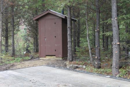
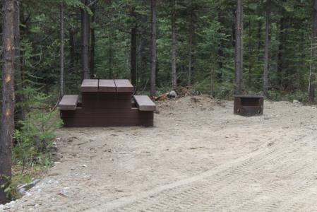
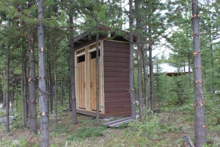
Mayson Lake Horse Camp has six camping spots in a well treed area suitable for high lining. There is an outhouse, shower house, picnic tables and fire rings.
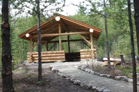
Mayson Lake Horse Camp has six camping spots in a well treed area suitable for high lining. There is an outhouse, shower house, picnic tables and fire rings as well as the shelter shown below. ACCESS: From Barriere: Travel north from Barriere on Highway 5 for 18 km to Darlington Forest Service Road to 15.5 km, turn left onto Powder Lake Road which is at 61.0 km. and drive to 50.2 km. Turn right for a very short distance, the camp is on the left. From Kamloops: Travel Westsyde Road 20 km to Jamison Creek FSR Road to 48.75; turn right onto Powder Lake Road which is at 49.0 km and drive to 50.2 km. Turn Left for a very short distance, the camp is on the left. ACCESS to the trails start at this campsite. There are short trails from each campsite taking you down to the shores of Mayson Lake.
Note: Also check under Upload/Download tab to see if there are more maps available. If the map below shows red lines, these indicate ridable trails which can be downloaded to your GPS (see Upload/Download tab)
ACCESS: From Barriere: Travel north from Barriere on Highway 5 for 18 km to Darlington Forest Service Road to 15.5 km, turn left onto Powder Lake Road which is at 61.0 km. and drive to 50.2 km. Turn right for a very short distance, the camp is on the left. From Kamloops: Travel Westsyde Road 20 km to Jamison Creek FSR Road to 48.75; turn right onto Powder Lake Road which is at 49.0 km and drive to 50.2 km. Turn Left for a very short distance, the camp is on the left.

Legend

Required
Your email address will not be displayed. This is only so we may contact you if we need to clarify something in your comment.
Required
Required
Required
Note: All of our Geo-Referenced PDF maps are available for free from the Avenza from the Map Store. These maps can be used with the Avenza Maps app on GPS enabled Smartphones and tablets.

GPX Upload
Rode this trail? Show the HCBC Trail Community Which Route You Ride

HCBC monitors the integrity of the GPX files uploaded prior to posting on this website. We will contact you via your email if your track is suitable for an Avenza Map.

Name:

Email:

Please upload GPX files only.


Image Upload
Saw Something Cool? Share it with the HCBC Trail Community

HCBC monitors the integrity of all images and comments posted on this website. Please allow us 24 hours to review the Images uploaded for this trail before they appear on our website. Thank you

Please upload jpeg images only.

Additional files to Download