Carmi X-Country Ski Trails

Day Ride Trail
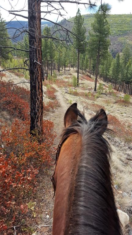
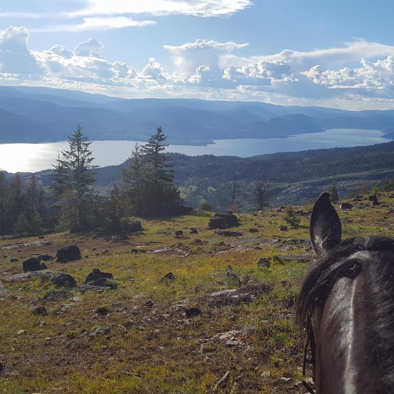
Network of trails with several loops. Mostly dense Douglas Fir forest (some recent clear cut logging) Views of Okanagan Lake from higher elevations
Penticton
Variable
400 metres
1.5 hours for the biggest loop
49.463343
-119.466709
Ponds and runoff creeks May and June otherwise dry.
Very Large area of roadside parking
https://okfalls.ca/area-d/upper-carmi/
Note: Also check under Upload/Download tab to see if there are more maps available. If the map below shows red lines, these indicate ridable trails which can be downloaded to your GPS (see Upload/Download tab)
Traveling through Penticton from the North, turn west off Highway 97 onto Westminster Avenue turn right on Martin Street which will soon turn into Main Street. Turn left onto Carmi Avenue ( just after Duncan Ave) from Main Street, after 3 km turn right onto Beaverdell Road and travel for 6 km to the trailhead on the right hand side. Map: https://www.trailpeak.com/content/trails/Canada/BC/813/topo_ellis_ridge_map.jpg

Legend

Sharon Pickthorne

Who posted the new GPX track and photos? posted on: 06 / 09 / 2019

If you are the person who posted the GPX track, can you contact Nancy Spratt at HCBC please. Her email is [email protected] We want to know if you want us to make a geo-ref map. thanks for posting the photos too!


Required
Your email address will not be displayed. This is only so we may contact you if we need to clarify something in your comment.
Required
Required
Required
Note: All of our Geo-Referenced PDF maps are available for free from the Avenza from the Map Store. These maps can be used with the Avenza Maps app on GPS enabled Smartphones and tablets.

GPX Upload
Rode this trail? Show the HCBC Trail Community Which Route You Ride

HCBC monitors the integrity of the GPX files uploaded prior to posting on this website. We will contact you via your email if your track is suitable for an Avenza Map.

Name:

Email:

Please upload GPX files only.


Image Upload
Saw Something Cool? Share it with the HCBC Trail Community

HCBC monitors the integrity of all images and comments posted on this website. Please allow us 24 hours to review the Images uploaded for this trail before they appear on our website. Thank you

Please upload jpeg images only.


Download GPX Tracks for GPS (see Directions/Map tab)