 HCBC
HCBCHCBC Trails Database Collecting British Columbia Trail Information Since 2003
Already Know the Trail Name?
Trail Zones
Note: Zone colours are matched to the map on the right. Use the + button on the bottom left of the map to zoom into the coloured Trail Zones.
Contribute To Our Database
As a trail rider, you are a vital team member in keeping this database up to date. To add a trail or amend information on trails already listed, visit our Trail Submission/Update page.
HCBC Trail Zones Map
Our Services
Important Links
Check here for a link to the BC Highway Rest Stop Map and links to other North American trails databases.
British Columbia Highway Rest Areas MapUnited Sates National Park Service - Trails
American Trails Database
All Trails US Equestrain Trails
About this Trails Database
HCBC is proud to offer this information on our province’s varied and beautiful trail system to every rider in BC. Your feedback is always welcome – contact [email protected].
 Smartphone App Integration
All of our Geo-Referenced PDF maps are also available for free from the Avenza Map Store. These maps can be used with the Avenza Maps app on GPS enabled Smartphones and tablets while on the trail, without a network or internet connection.
HCBC Trail Zones
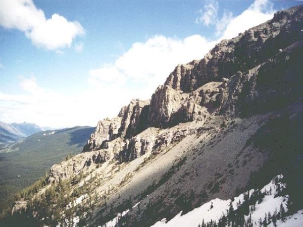
Zone 1:
Kootenays
Trails
View more
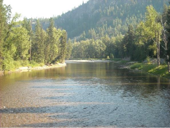
Zone 2:
Thompson Okanagan
Trails
View more
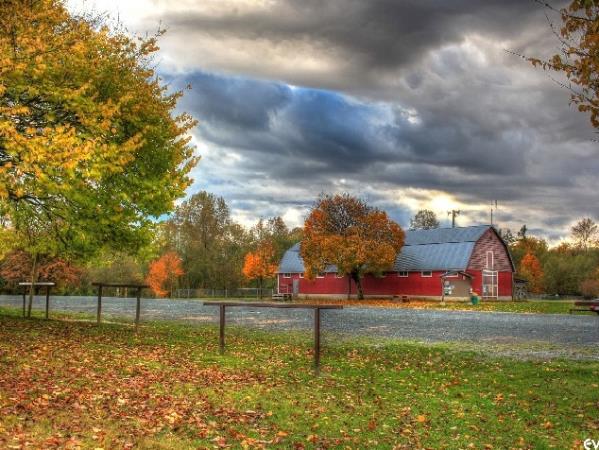
Zone 3:
Fraser Valley
Trails
View more
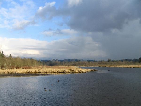
Zone 4:
Fraser Valley West
Trails
View more
Zone 5:
Vancouver-Coastal
Trails
View more
Zone 6:
Vancouver Island-Central Coast
Trails
View more
Disclaimer: People who use this information and trail maps do so entirely at their own risk. HCBC disclaims any liability for death, injury or other damage that may be sustained by anyone using the information, trails and/or routes described. There are inherent personal risks and potential hazards in traveling all back and front country roads and trails as any portion of a trail may be unsafe. Some of the trails described are remote and users may encounter sections (including windfalls, washouts, and slides) that were not present when trail maps were created. The trails can be difficult and physically challenging; accidents, injuries and deaths do occur. While HCBC makes reasonable efforts to provide accurate information, conditions may change due to weather and other factors. It is up to users of these trails described to learn the necessary skills for safe use of equine when riding and packing, use of compasses or GPS, and to exercise caution for all wilderness is potentially hazardous.


