Palmers Pond

Back Country Trail
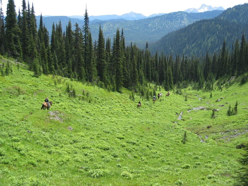
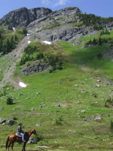
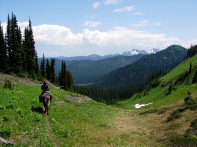
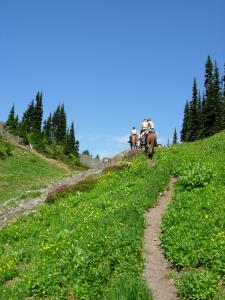
Palmer's Pond is on the Hudson's Bay Brigade Trail about 1 1/2 hr west of Jacobsen Lake. The point where the HBC trail crosses the Tulameen FS road is marked with a sign about 1 km past Jacobsen Lake. From this point you can ride the trail in either direction. East takes you down along Podunk creek, west climbs up past Palmer's Pond (6100' elev) and through an unnamed alpine pass to Camp du Chevreuil then down to the Sowaqua creek drainage.
Hope, Tulameen
Hudson Bay Brigade Trail
5.0 km
1.5 hrs one way
49.21506
-121.55033
Many creeks
Jacobsen Lake campsite or along road, HBBT crosses the road just past Jacobson Lake about 1 km
Jacobsen Lake or 1 hr up trail
Note: Also check under Upload/Download tab to see if there are more maps available. If the map below shows red lines, these indicate ridable trails which can be downloaded to your GPS (see Upload/Download tab)
From the Lower Mainland take the Coquihalla Hwy to the toll booth Take first exit past toll booth (the one going to the rest stop) At stop sign, push reset button on odometer to "0" At same stop sign, turn right 2/10 km turn left on Tularneen Forest Service road (TFS Rd) 8 km bear right, still on TFS Rd. 12.6 km stay right on main road 13. 4 km stay left on main road. 21.8 km stay right on main road 22.4 km stay left on main road 24 km stay straight on main road 24.5 km stay on main road to left 26 km go straight 28.5 km stay on main 31.5 km stay left on main 34.1 km you will pass a recreation camp site - stay on main 37.3 km turn left 38 km see road closure sign (only applicable for hunters) - go on 38.2 km Vuich Creek Bridge 45 km Jacobsen Lake

Legend

Required
Your email address will not be displayed. This is only so we may contact you if we need to clarify something in your comment.
Required
Required
Required
Note: All of our Geo-Referenced PDF maps are available for free from the Avenza from the Map Store. These maps can be used with the Avenza Maps app on GPS enabled Smartphones and tablets.

GPX Upload
Rode this trail? Show the HCBC Trail Community Which Route You Ride

HCBC monitors the integrity of the GPX files uploaded prior to posting on this website. We will contact you via your email if your track is suitable for an Avenza Map.

Name:

Email:

Please upload GPX files only.


Image Upload
Saw Something Cool? Share it with the HCBC Trail Community

HCBC monitors the integrity of all images and comments posted on this website. Please allow us 24 hours to review the Images uploaded for this trail before they appear on our website. Thank you

Please upload jpeg images only.