 HCBC
HCBCHope Pass Trail - Manning Park Located in the Fraser Valley


Recent Images
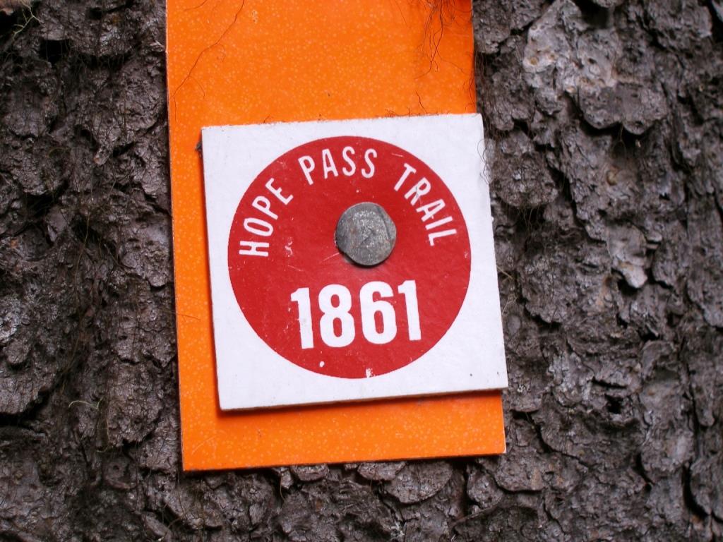
Hope Pass Trail - Manning Park
Legend
Hope Pass Trail - Manning Park Comments Want To Get Involved? Post Comment
Updated January 2025 posted on: 01 / 05 / 2025
Information updated January 2025 from BC Parks website and additional internet resources. If you have ridden any of the trails in this area, have additional info or there requires an edit or you have photos please submit to help keep this record accurate. Thank you in advance. Maps are posted in the uploads/download tab.
Hope Pass Trail posted on: 06 / 04 / 2018
Hope Pass trail starts across Highway #3 from the Cayuse Flats parking area. Usually can't cross Skaist creek until freshet is over. As of June 1, 2018 the trail was clear of windfall to Grainger Creek Camp. This trail is easy once you get past Skaist Creek and onto the old logging road. Can easily be done to Grainger Camp and back in a day ride.
Hope Pass Trail posted on: 09 / 11 / 2009
Parks has closed the the Hope Pass Trail to equestrian traffic. There are a number of small bridges that need replacing and are not safe to cross by horseback.
GPX Upload
Rode this trail? Show the HCBC Trail Community Which Route You Ride
HCBC monitors the integrity of the GPX files uploaded prior to posting on this website. We will contact you via your email if your track is suitable for an Avenza Map.
Name:
Email:
Image Upload
Saw Something Cool? Share it with the HCBC Trail Community
HCBC monitors the integrity of all images and comments posted on this website. Please allow us 24 hours to review the Images uploaded for this trail before they appear on our website. Thank you


