 HCBC
HCBCLarch Hills Trails & Equine Campsite Located in the Thompson Okanagan


Recent Images
Larch Hills Trails & Equine Campsite
Legend
Larch Hills Trails & Equine Campsite Comments Want To Get Involved? Post Comment
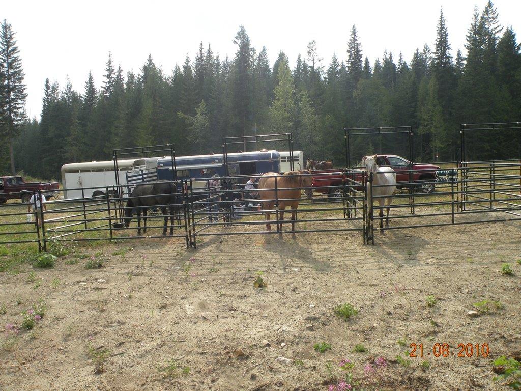
Corrals are up posted on: 06 / 02 / 2026
Back Country Horsemen - Shuswap Chapter got all the Corrals up. Get a hold of Pauline to make your reservation.
2024 season Riding season posted on: 04 / 28 / 2024
Corrals are set up for the 2024 season. Overnight camping is still $20 for you and your horse. Contact Pauline Hickson to make your reservation More info in Notes. As of April 28, 2024 there is still snow on the trails.
Road update and trails posted on: 04 / 30 / 2021
Edgar road is a little tough heading up to the staging area. Washboard and potholes as the snow has recently left. Not sure when it will be graded. Lower trails to the south are clear of snow. All 12 corrals are up.
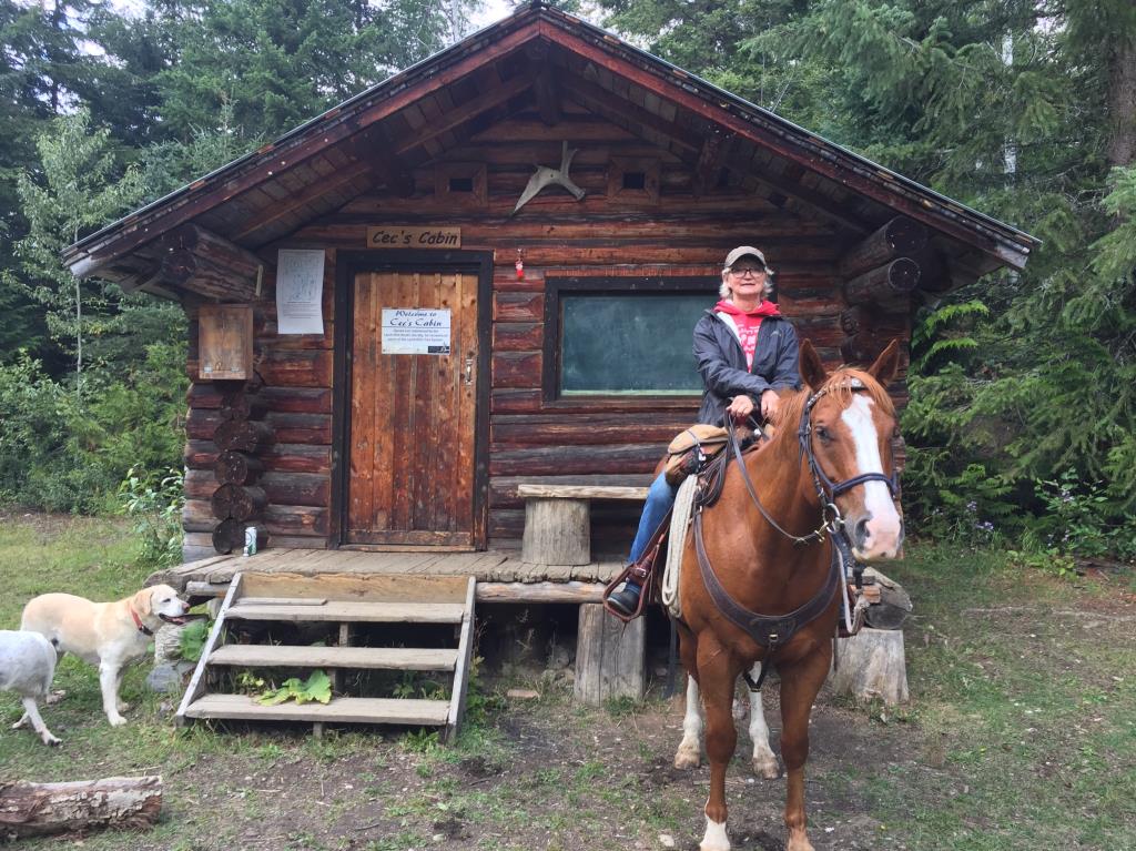
Cec's Cabin Loop and SouthView Loop posted on: 09 / 09 / 2018
Riding has been fabulous up at Larch Hills this year. Trails are in good shape both up to Cec's cabin and the South View loop.
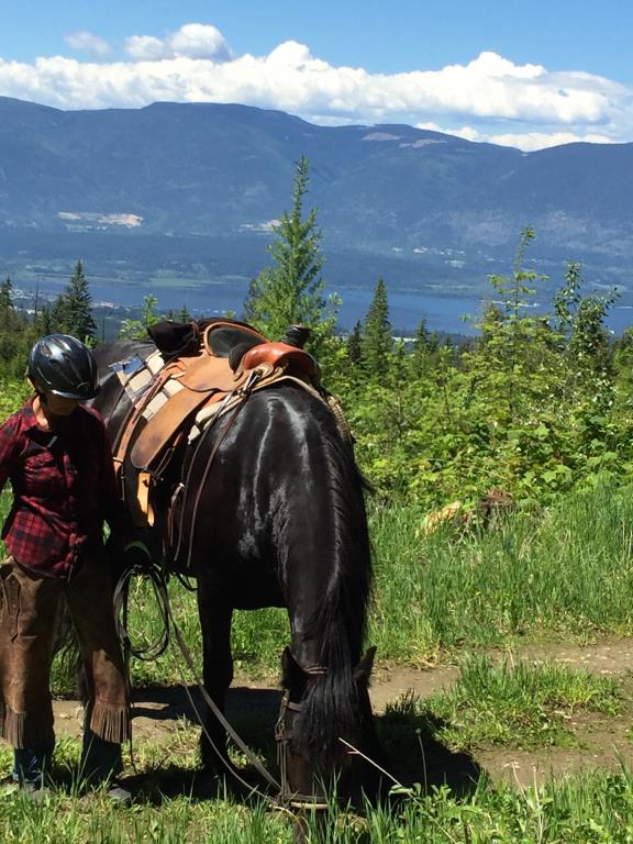
Larch Hills South Loop View posted on: 09 / 07 / 2018
This loops is an easy 9 km loop approx 2 hours with mostly good footing. There is a great view looking down towards Salmon Arm. This is one of the first trails open once the snow starts to go.
riding at Larch Hills posted on: 05 / 11 / 2016
What is the road like to get into the Larch Hills. Do we need reservations for our living quarter trailers and to reserve pens please?
GPX Upload
Rode this trail? Show the HCBC Trail Community Which Route You Ride
HCBC monitors the integrity of the GPX files uploaded prior to posting on this website. We will contact you via your email if your track is suitable for an Avenza Map.
Name:
Email:
Image Upload
Saw Something Cool? Share it with the HCBC Trail Community
HCBC monitors the integrity of all images and comments posted on this website. Please allow us 24 hours to review the Images uploaded for this trail before they appear on our website. Thank you


