 HCBC
HCBCCultus Lake Trail Located in the Fraser Valley


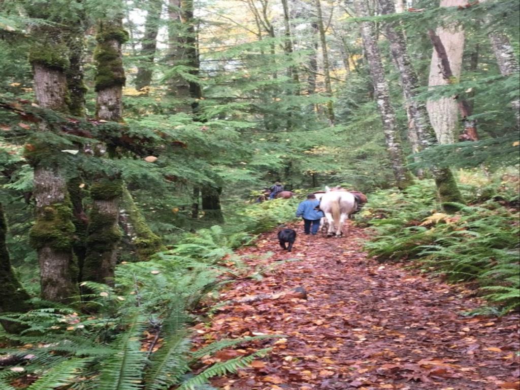
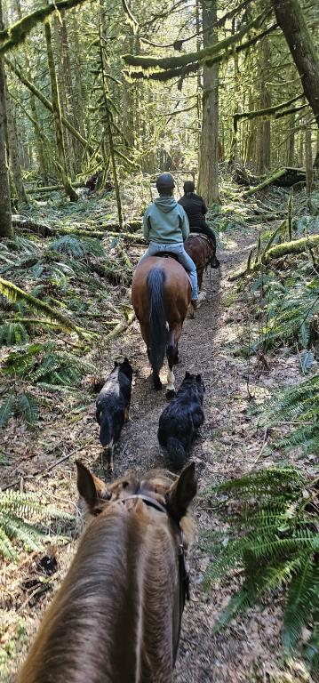
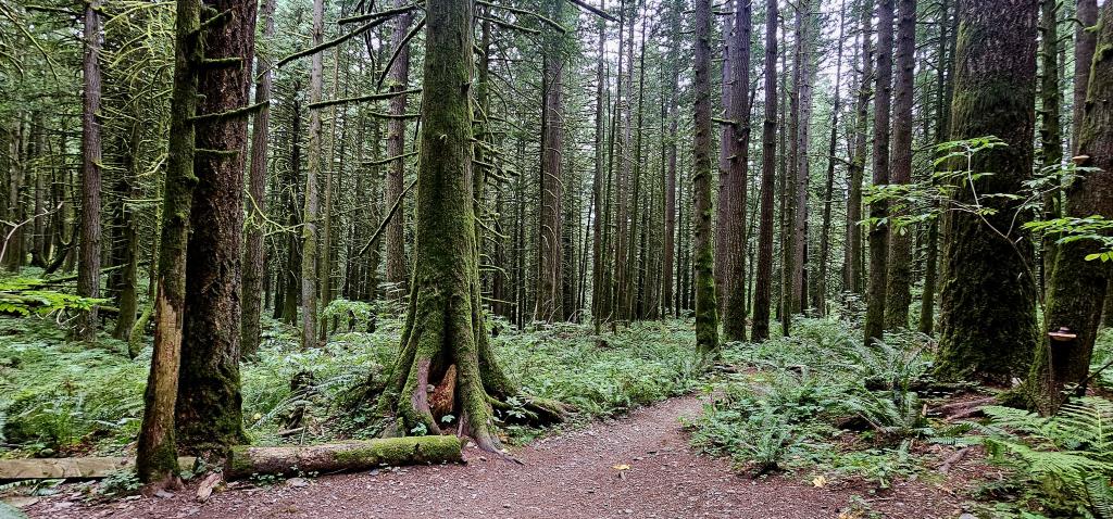
Recent Images
Cultus Lake Trail
Legend
Cultus Lake Trail Comments Want To Get Involved? Post Comment
Watt Creek Parking Closure posted on: 01 / 24 / 2025
Watt Creek parking will be closed February 10, 2025 to April 4, 2025 for upgrades to parking lot.
Cultus Lake Horse Trail posted on: 09 / 19 / 2018
The Cultus Lake Horse Trail has been GPS'ed and track uploaded. This is a great conditioning trail. Leaving the Watt Creek parking lot you head uphill on switchbacks for a 200 ft elevation gain. The trail levels off and then its uphill again for another 285 ft elevation gain. Great fall riding.
Cultus Lake Horse Trail posted on: 02 / 11 / 2014
From the Provincial Park website: "Updated: As of November 25, 2013: The Cultus Lake Horse Trail is now open to the public. The trail was closed in August 2013 due to an active landslide in the area. BC Parks recently installed warning signage and reopened the trail to the public however; we strongly recommend that visitors do not cross the landslide area during periods of intense rainfall."
GPX Upload
Rode this trail? Show the HCBC Trail Community Which Route You Ride
HCBC monitors the integrity of the GPX files uploaded prior to posting on this website. We will contact you via your email if your track is suitable for an Avenza Map.
Name:
Email:
Image Upload
Saw Something Cool? Share it with the HCBC Trail Community
HCBC monitors the integrity of all images and comments posted on this website. Please allow us 24 hours to review the Images uploaded for this trail before they appear on our website. Thank you


