 HCBC
HCBCTrapping Creek Trails and Campsites Located in the Thompson Okanagan


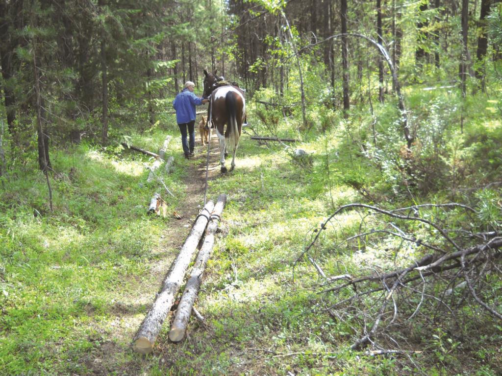
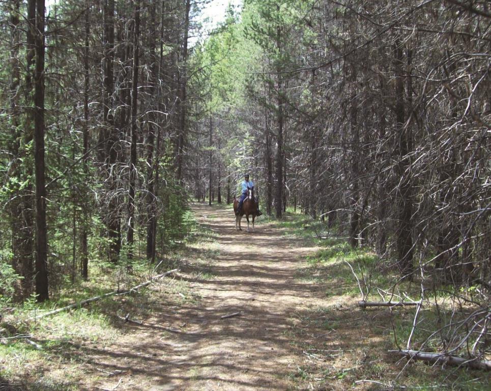
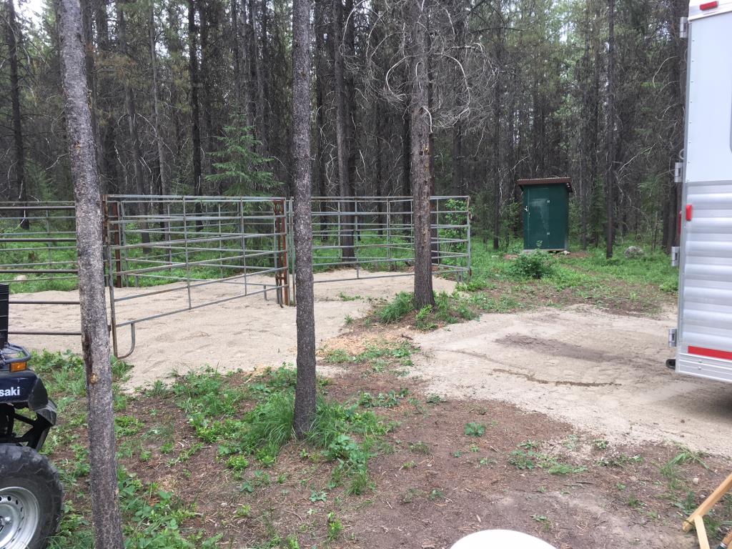
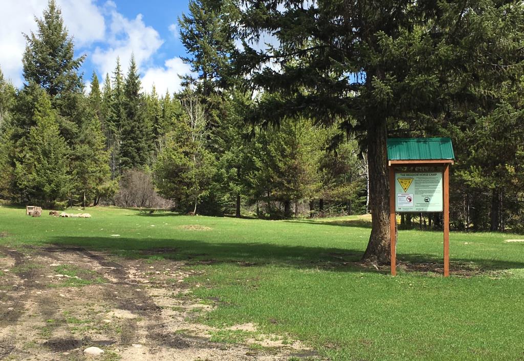
Recent Images
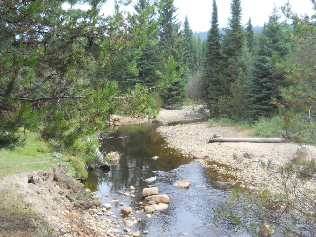
Trapping Creek Trails and Campsites
Legend
Trapping Creek Trails and Campsites Comments Want To Get Involved? Post Comment
Trail Signage posted on: 10 / 12 / 2023
“You are here” maps are located at most intersections within the Trapping Creek trail system.
corrals posted on: 10 / 09 / 2019
Which camp has the corrals?
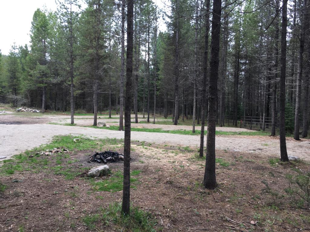
upgrades to Little Trapping Horse Camp posted on: 05 / 30 / 2018
The Okanagan Chapter of BCHBC has just completed an upgrade to the camp with additional levelling of the six camp sites. In addition and more importantly the 11 horse pens have had any stumps removed and a nice bed of sand put into each pen offering better comfort and drainage.
GPX Upload
Rode this trail? Show the HCBC Trail Community Which Route You Ride
HCBC monitors the integrity of the GPX files uploaded prior to posting on this website. We will contact you via your email if your track is suitable for an Avenza Map.
Name:
Email:
Image Upload
Saw Something Cool? Share it with the HCBC Trail Community
HCBC monitors the integrity of all images and comments posted on this website. Please allow us 24 hours to review the Images uploaded for this trail before they appear on our website. Thank you


