 HCBC
HCBCGreat Divide Trail Located in the Kootenays


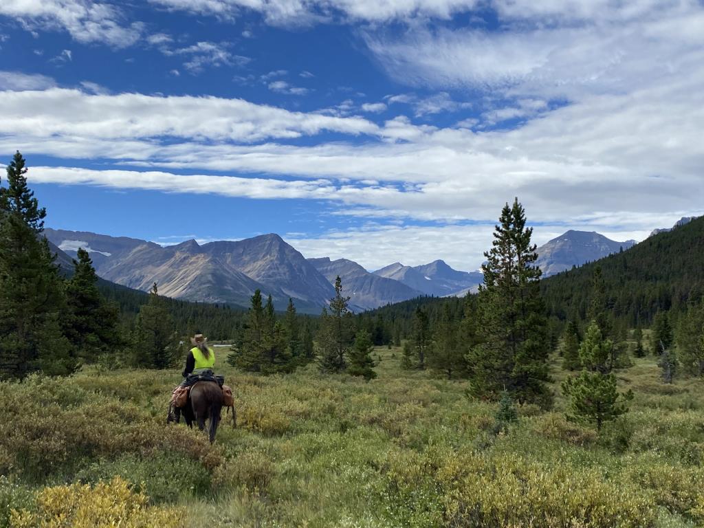
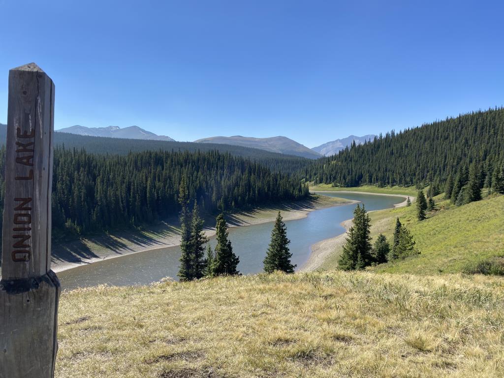
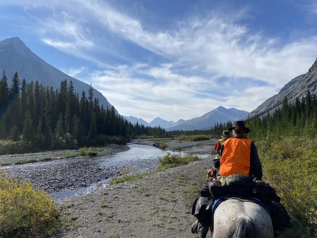
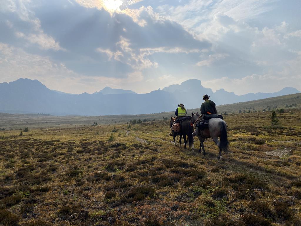
Recent Images
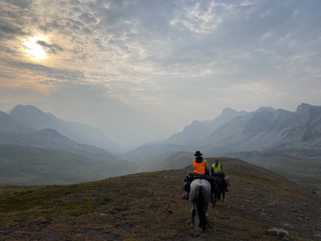
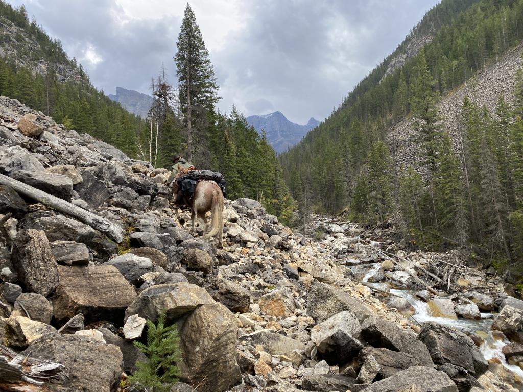
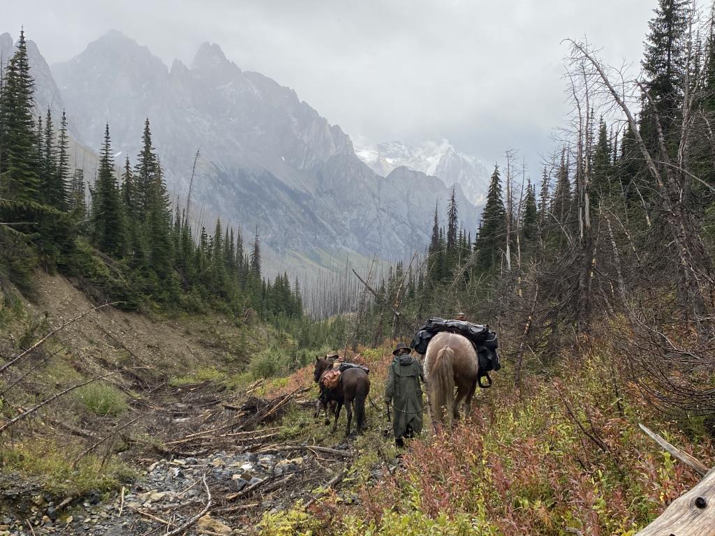
Great Divide Trail
Legend
Great Divide Trail Comments Want To Get Involved? Post Comment
Equestrian GDT posted on: 07 / 20 / 2022
I've been doing a LOT of investigation into the GDT route over the last few months and the route shown here is for backpacking, NOT equestrians. There are lots of sections where horses are not allowed, or can't go because trails haven't been cleared in years. White Goat Wilderness Area - horses not permitted. Same with Kananaskis Lakes. Yoho National Park trails haven't been cleared in years and are reported to be very hard going. There is no north-south route through Jasper. Seems they want to keep equestrians on either the North Boundary or South Boundary. Horses not permitted on Skyline Trail, Maligne Lake or over Maligne Pass.
GPX Upload
Rode this trail? Show the HCBC Trail Community Which Route You Ride
HCBC monitors the integrity of the GPX files uploaded prior to posting on this website. We will contact you via your email if your track is suitable for an Avenza Map.
Name:
Email:
Image Upload
Saw Something Cool? Share it with the HCBC Trail Community
HCBC monitors the integrity of all images and comments posted on this website. Please allow us 24 hours to review the Images uploaded for this trail before they appear on our website. Thank you


