 HCBC
HCBCMemekay Horse Camp Located in the Vancouver Island-Central Coast


Recent Images
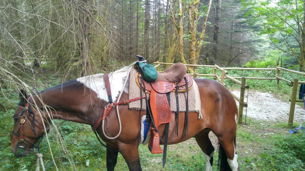
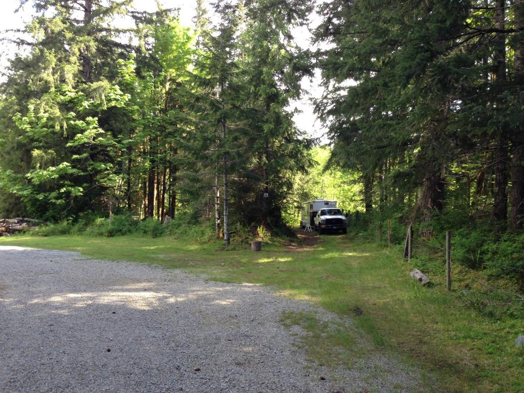
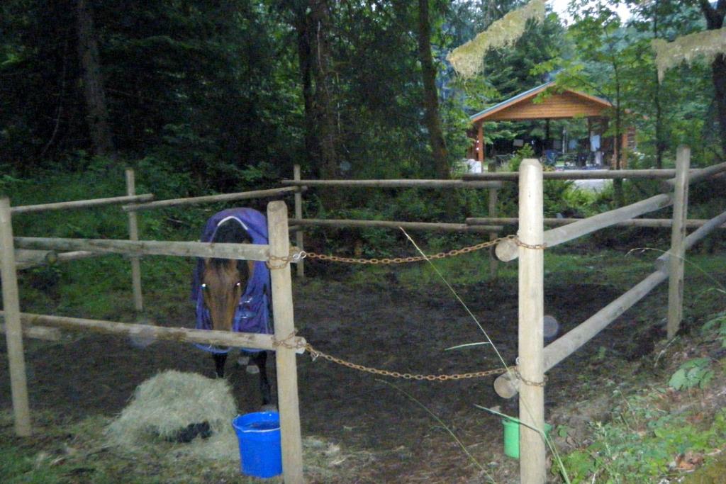
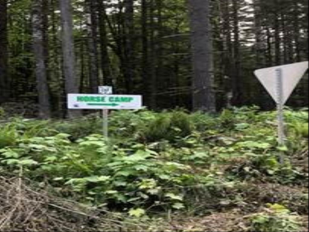
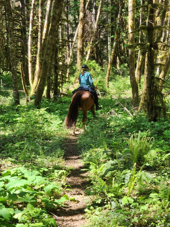
Memekay Horse Camp
Legend
Memekay Horse Camp Comments Want To Get Involved? Post Comment
Camp open and in good shape posted on: 06 / 02 / 2024
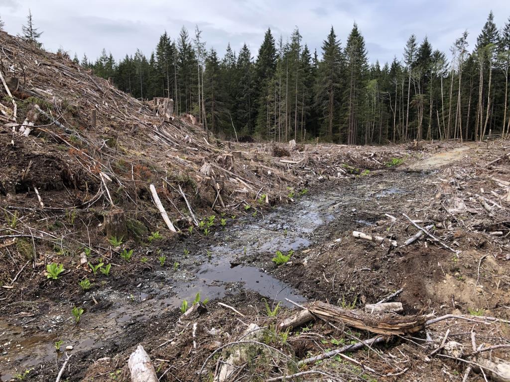
May 2024 Camping season is open, the logging is pretty much complete in the lease area and the trails are in good shape
2022 Salmon Brewster Trail Corridor - trail status - things to know posted on: 06 / 02 / 2022
Update on Salmon Brewster trail system 2022 riding season - there has been significant winter snow bringing a lot of trees down, please remember to carry a saw. Be ready to turn around or find an alternate route. Best to plan to ride sections of the trail, versus all the way through. Grazing lease trails should be good. New trail opened by volunteers that you don't have to open/close gates to get to north crossing of the Salmon River. Note: fresh trail, still needs a little tlc and watch for old barb wire by fence line. North Loop Trail, we have opened an alternate route to avoid the Bog, but you have to ride either upstream or downstream, through the river or along the edge, crossing where it is safe. Please be safe savvy, ride in a group have one or two scout it out first before taking the larger group. once you've got it figured, it is very doable. South Loop Trail, should be ok to the swimming hole but...could be more trees down. Swimming hole to Pine Marten, has not been checked and we still need to open a trail to avoid the bog close to Pine Marten, not recommended section at the moment. Pine Marten to Miriam Creek crossing trail section of the corridor has some issues that need to be addressed for safety. some of the trail is amazing but some sections I would not cross, Please be very trail safe savvy if you decide to explore. The goal is to have this section upgraded by 2023. Miriam Creek south to Bodil Lake there will be some harvesting expected in the Brewster Lake along Memekay main road/Miraim Creek spur - I would avoid this trail section in 2022. Bodil Lake to Brewster Lake, we have opened up some of this trail, need another day or two but really nice area all around Brewster to explore. 2022 is NOT the year to plan riding the full 40km trail corridor. Deb, Chair, BCHBC NVI 250 337 8377
Maps available for your phone posted on: 02 / 19 / 2021
There are two maps available on Avenza , one covering the trails on the lease area at Memekay and one covering the full 34KM Salmon Brewster Trail Corridor. See the other database entries for each campsite and the trail corridor.
GPX Upload
Rode this trail? Show the HCBC Trail Community Which Route You Ride
HCBC monitors the integrity of the GPX files uploaded prior to posting on this website. We will contact you via your email if your track is suitable for an Avenza Map.
Name:
Email:
Image Upload
Saw Something Cool? Share it with the HCBC Trail Community
HCBC monitors the integrity of all images and comments posted on this website. Please allow us 24 hours to review the Images uploaded for this trail before they appear on our website. Thank you


