 HCBC
HCBCKane Valley Trails & Equine Campsite Located in the Thompson Okanagan


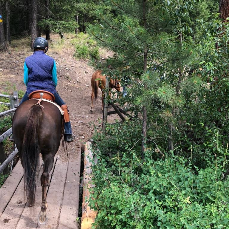
Recent Images
Kane Valley Trails & Equine Campsite
Legend
Kane Valley Trails & Equine Campsite Comments Want To Get Involved? Post Comment
Corral Upgrade posted on: 05 / 03 / 2026
April 2026, multiple BCHBC Chapters completed an upgrade to the corral footing to 25 corrals. Please remove all manure and hay in order to keep these corrals in great shape for everyone.
Thank you! posted on: 08 / 27 / 2025
Wow what a find! Amazing spot to horsecamp with steel corrals, most have shade trees, lake view, beautiful gravel level trailer spots with fire pits and picnic tables. Outhouses clean and even located on trails! Best trail markers I've ever experienced with year round maps at very intersection. Lovely treed trails and footing was super. Don't miss the swimming spot at the Interpreter's forest area - you can ride around all the rail fencing btw! Thank you so much for creating this little piece of horse camping paradise!
Harmon Lake EQ campsite posted on: 04 / 25 / 2022
April 21,2022. All the corrals are in good shape. Ice still on both Harmon and Kane lakes.
trip report posted on: 09 / 25 / 2020
I stayed at Kane for 4 nights mid sept 2020. There has one large party in the large 6 pen site and 2 of us only there. Sites up top were lovely. The trail map provided here is great and it is posted also on kiosks at every intersection. If the map notes a steep section....its steep and sometimes there is a bypass which I recommend taking. WATER - access to the lake below - if you go through the gate beside the cattle guard at the end of Aspen trail by the entrance to the Interpretive Trail - go down the road by the regular campsites, go to the 3rd outhouse and you will see a small gravel access to the lake down the little ravine. Room for 2 horses. You can come out the same way or go to the left and come out the main gate, Cattle guard and gate again - and up and into the Equestrian campsite gates. You can also go down the boat ramp but I don't think we should encourage that since we might block access and poop in the area. On the trails there is access at the Beaver Pond on Harmon but not the pond on Hills Homestead. There are the odd stream beds beside the trails which depended on the season and how many cows are about can be used. Easily 3 to 4 days riding - off approx. 4 hour rides. Bring equine boots since some of the trails are rocky.
GPX Upload
Rode this trail? Show the HCBC Trail Community Which Route You Ride
HCBC monitors the integrity of the GPX files uploaded prior to posting on this website. We will contact you via your email if your track is suitable for an Avenza Map.
Name:
Email:
Image Upload
Saw Something Cool? Share it with the HCBC Trail Community
HCBC monitors the integrity of all images and comments posted on this website. Please allow us 24 hours to review the Images uploaded for this trail before they appear on our website. Thank you


