 HCBC
HCBCCowichan River Provincial Park Skutz Falls Located in the Vancouver Island-Central Coast


Recent Images
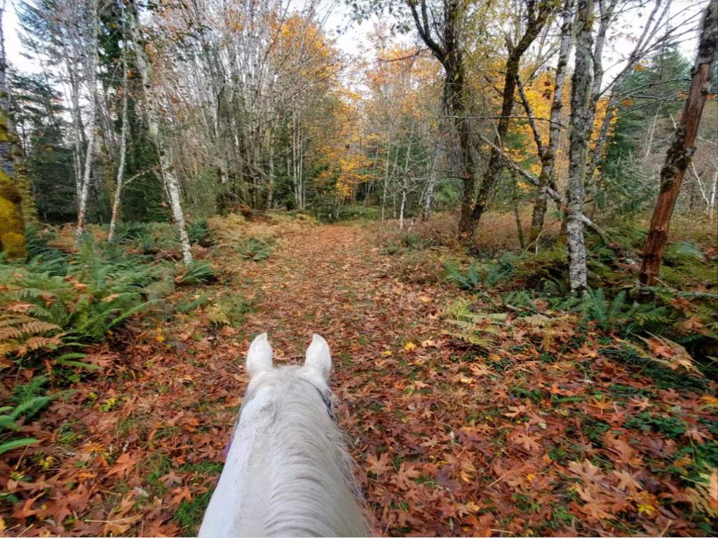
Cowichan River Provincial Park Skutz Falls
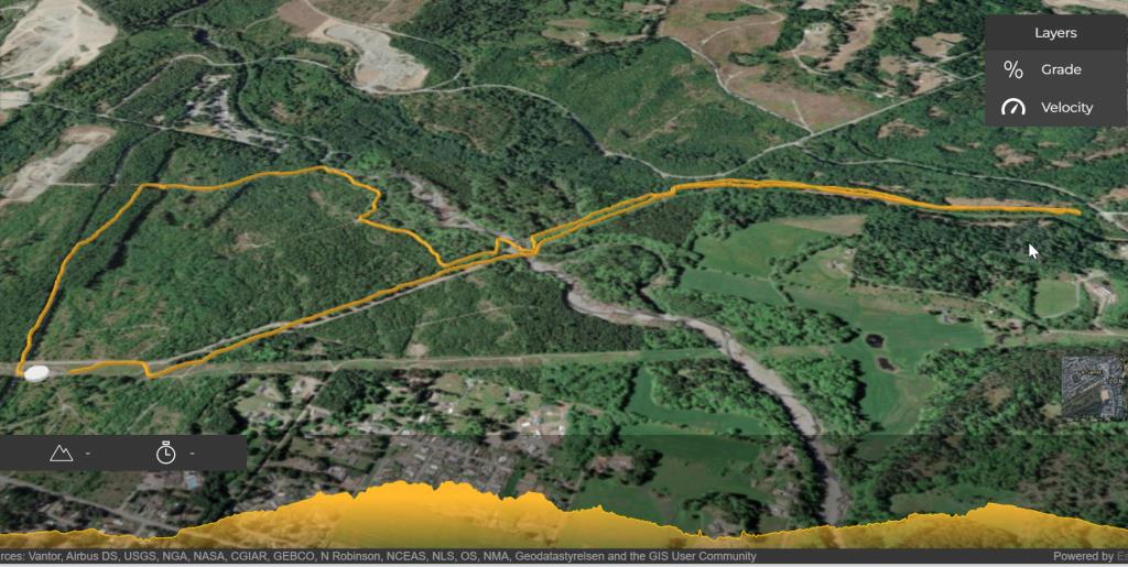
Note: Also check under Files Maps Upload/Download tab to see if there are more maps available. If the map below shows red lines, these indicate ridable trails which can be downloaded to your GPS (see Files Maps Upload/Download tab)
Legend
Cowichan River Provincial Park Skutz Falls Comments Want To Get Involved? Post Comment
Tony Wass
No pump at Skutz Falls posted on: 02 / 12 / 2024
BC Parks contractor has de-commissioned the hand pump at the former Skutz Falls campsite.
Tony Wass
Riding is restricted to Rail Trails posted on: 02 / 12 / 2024
Horseback riding is mostly restricted to rail-trail corridor. The Cowichan River trail that closely follows the river is not suitable for horses, and thus off limits.
Note: All of our Geo-Referenced PDF maps are available for free from the Avenza from the Map Store. These maps can be used with the Avenza Maps app on GPS enabled Smartphones and tablets.
GPX Upload
Rode this trail? Show the HCBC Trail Community Which Route You Ride
HCBC monitors the integrity of the GPX files uploaded prior to posting on this website. We will contact you via your email if your track is suitable for an Avenza Map.
Name:
Email:
Image Upload
Saw Something Cool? Share it with the HCBC Trail Community
HCBC monitors the integrity of all images and comments posted on this website. Please allow us 24 hours to review the Images uploaded for this trail before they appear on our website. Thank you


