 HCBC
HCBCVedder Mountain Trails Located in the Fraser Valley


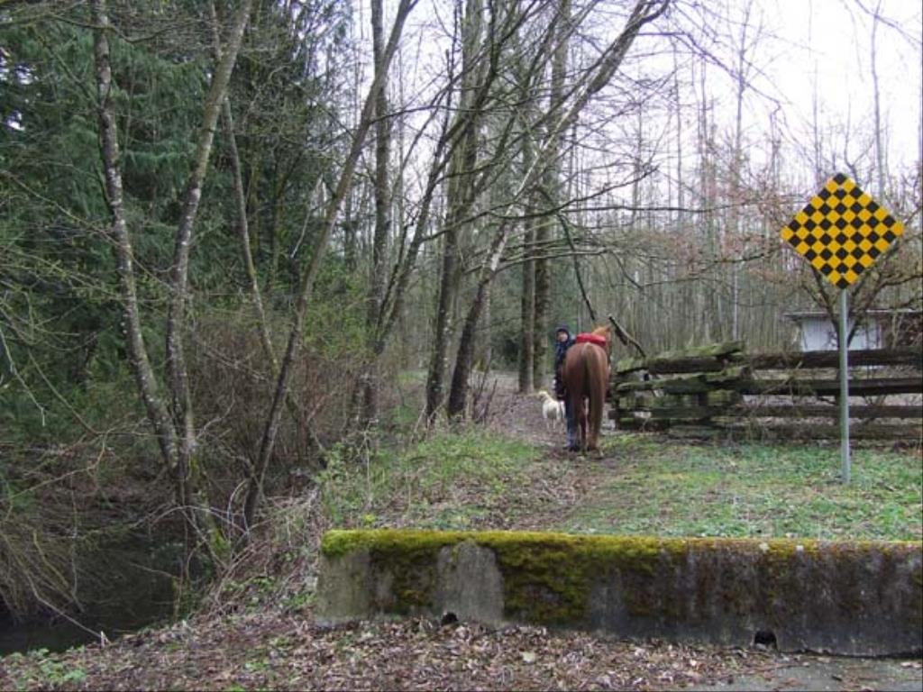
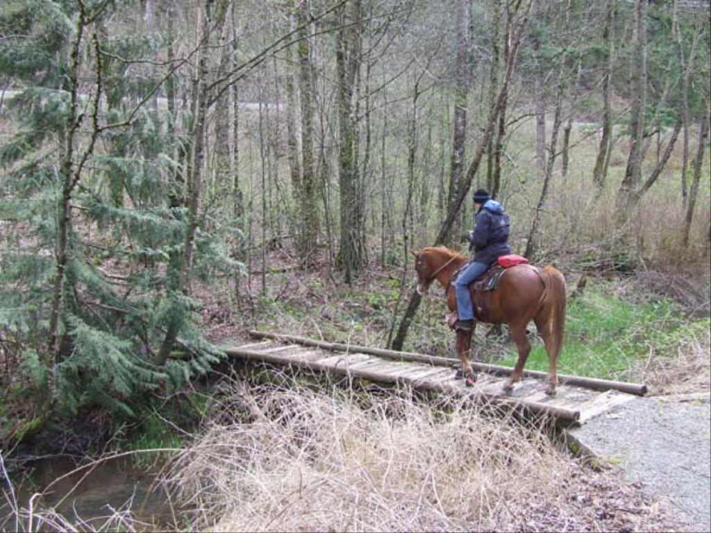
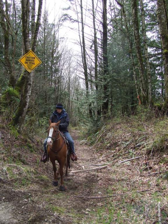
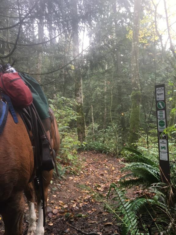
Recent Images
Vedder Mountain Trails
Legend
Vedder Mountain Trails Comments Want To Get Involved? Post Comment
Temporary Closure Vedder Mt Trails July 20 to Aug 20 posted on: 07 / 22 / 2016
Please note that the Ministry of Forests, Lands and Natural Resources has closed access to Vedder Mtn. to all users ( motorized, non-motorized, and pedestrian) from July 20-Aug.20 to repair and upgrade Parmenter Rd. The conditions of this closure are as follows: Parmenter Road and all trails are closed from July 20th to Aug 20th but will be open on weekends from 6 pm Friday eve to 6 am Monday morning. The road will be gated to deter people from using the area. This is a legal closure so if people are going to be choosing to ignore the signage, they will be risking getting charged. NOTE: There will be active clearing/falling and chipping of trees along both sides ( possibly falling over high use trails) of the road involving heavy equipment. For your own safety and to not interfere with this road improvement project, please respect this closure.
GPX Upload
Rode this trail? Show the HCBC Trail Community Which Route You Ride
HCBC monitors the integrity of the GPX files uploaded prior to posting on this website. We will contact you via your email if your track is suitable for an Avenza Map.
Name:
Email:
Image Upload
Saw Something Cool? Share it with the HCBC Trail Community
HCBC monitors the integrity of all images and comments posted on this website. Please allow us 24 hours to review the Images uploaded for this trail before they appear on our website. Thank you


