Williams Beach Trails

Day Ride Trail
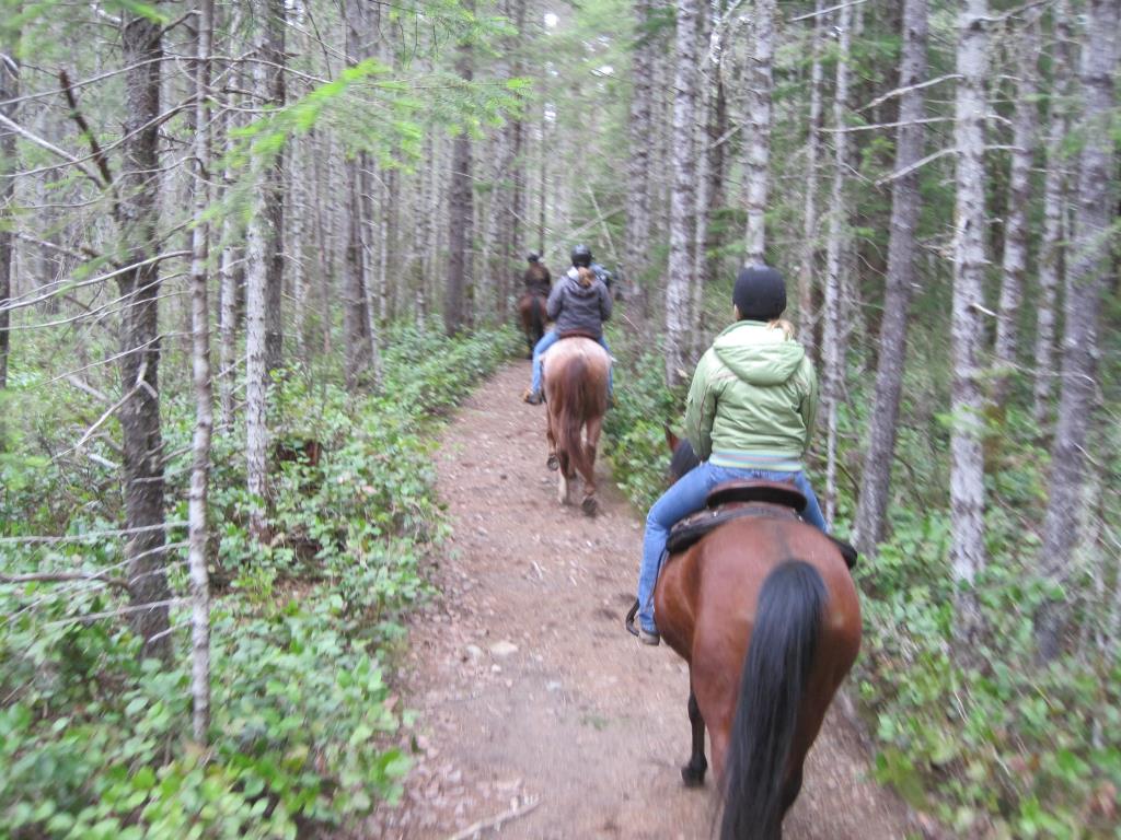
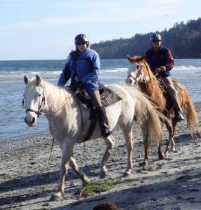
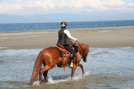
This is a large network of sandy wide multi-use trails on Crown Land suitable to ride any time of year which has access to Williams Beach. The trails are flagged with many colours. Any solid colour is a circle trail and where 2 colours are it is adjoining circles. Horses can ride on the beach but be aware of busy summer months since children, dogs etc are there too! Best to check the tide tables and go off season or ride below the tide line.
Courtenay, Comox, Campbell River
Trail down to the beach
1 km to 10 km depending on how many loops
not much unless you ride down to the beach
45 minutes to 4 hours
49.81382
-125.05961
no water at site. Horse may find puddles sometimes on lower trails in winter
Plenty of parking at the sharp corner to the right - you will see stumps. You can park on either side of the road. This corner is just past the corner with a property called "Adey's Acres"
In summer if very dry these trails can be very dusty. Be prepared to see salal pickers in the bush, the odd motorbike or quad, dog walkers. Please clean up in the parking area - take away your manure, bedding and hay. Geo-Referenced Map is available to download to your phone and it's also located on the free phone App called Avenza Maps
Note: Also check under Upload/Download tab to see if there are more maps available. If the map below shows red lines, these indicate ridable trails which can be downloaded to your GPS (see Upload/Download tab)
From Courtenay go north towards Campbell River. Turn right on Williams Beach Road which is past Merville Road. Go around a tight corner to the left at "Addies Acres" and then at the next corner to the right is the parking on either side of the road.

Legend

Required
Your email address will not be displayed. This is only so we may contact you if we need to clarify something in your comment.
Required
Required
Required
Note: All of our Geo-Referenced PDF maps are available for free from the Avenza from the Map Store. These maps can be used with the Avenza Maps app on GPS enabled Smartphones and tablets.

GPX Upload
Rode this trail? Show the HCBC Trail Community Which Route You Ride

HCBC monitors the integrity of the GPX files uploaded prior to posting on this website. We will contact you via your email if your track is suitable for an Avenza Map.

Name:

Email:

Please upload GPX files only.


Image Upload
Saw Something Cool? Share it with the HCBC Trail Community

HCBC monitors the integrity of all images and comments posted on this website. Please allow us 24 hours to review the Images uploaded for this trail before they appear on our website. Thank you

Please upload jpeg images only.

Geo-Ref maps for Avenza Maps App on mobile devices

Note: If you are on a computer, you can print these maps. If you using a mobile device, then these maps are available to download from the Avenza Map Store within the Avenza app.

Download GPX Tracks for GPS (see Directions/Map tab)