Fuller Lake - Cottonwood Trails

Day Ride Trail
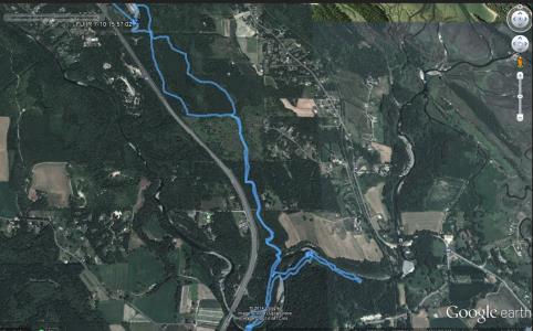
This area includes a series of very easy well groomed trails and roads (no-vehicular access) on public lands, adjoining the Fuller Lake Ice Arena. Unofficial trails meander down to the Chemainus river with easy access to the River for horses and horse swimming.
Chemainus, Duncan
10 KM
minimal
2 hours
48.902925
123.718050
no
Large paved parking area at the Fuller Lake area- is usually vacant unless there is a scheduled event at the arena.
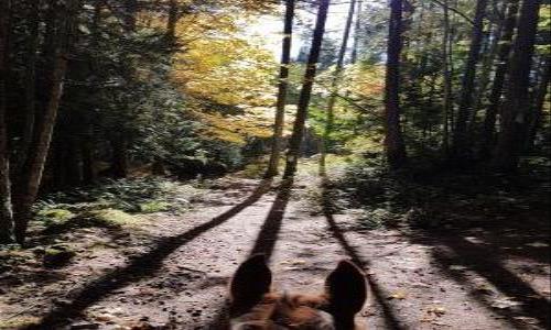
This is a popular dog walking area and riding area. The trails are well groomed smooth surfaced with an unofficial route thru private land to access the Chemainus River. Great swimming location in the summer.
Note: Also check under Upload/Download tab to see if there are more maps available. If the map below shows red lines, these indicate ridable trails which can be downloaded to your GPS (see Upload/Download tab)
2876 Fuller Lake Road. Southbound from Ladysmith, there is a left turn stacking lane immediately south of the signalized intersection of Henry Road and Highway 1. This is a busy intersection - ensure you are in the left lane southbound prior to the signalized intersection or you will not have enough time to get into the left lane and the stacking lane to turn left. Northbound from Duncan will be a right turn onto Fuller Lake Road after going approximately 1 km beyond the intersection of Highway 1 and Mt. Sicker Road

Legend

Required
Your email address will not be displayed. This is only so we may contact you if we need to clarify something in your comment.
Required
Required
Required
Note: All of our Geo-Referenced PDF maps are available for free from the Avenza from the Map Store. These maps can be used with the Avenza Maps app on GPS enabled Smartphones and tablets.

GPX Upload
Rode this trail? Show the HCBC Trail Community Which Route You Ride

HCBC monitors the integrity of the GPX files uploaded prior to posting on this website. We will contact you via your email if your track is suitable for an Avenza Map.

Name:

Email:

Please upload GPX files only.


Image Upload
Saw Something Cool? Share it with the HCBC Trail Community

HCBC monitors the integrity of all images and comments posted on this website. Please allow us 24 hours to review the Images uploaded for this trail before they appear on our website. Thank you

Please upload jpeg images only.

Geo-Ref maps for Avenza Maps App on mobile devices

Note: If you are on a computer, you can print these maps. If you using a mobile device, then these maps are available to download from the Avenza Map Store within the Avenza app.