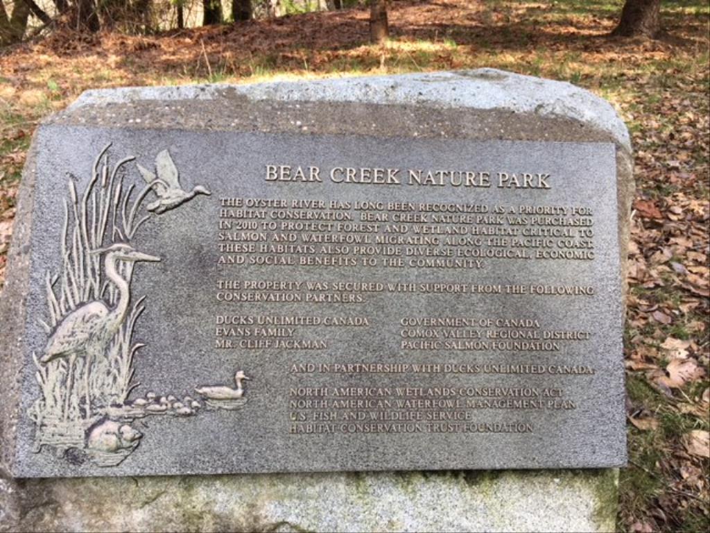
Bear Creek Park

Day Ride Trail
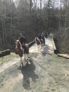
Comox Valley Regional District park with shared use trail. Equestrian parking area with mounting block. The trail system is behind a locked gate and gravel road system. Good durable footing, anytime of year and the CVRD has been developing connecting trails through the trees. Good conditioning area, with a hill and you can ride various gaits. There is Salmon hatchery along the Oyster River that has an active membership, Tuesday is the big volunteer day there otherwise it is generally very quiet area to ride.
Black Creek, BC (Courtenay)
no connecting trails anymore as adjacent lands are now private ownership.
approximately 8 km's if you include incorporating some loops in your ride
not really
1 1/2 to 2 hours
0
0
Yes, there are spots that are safe to access the river area
The road into the park is a one way loop road and there is designated equestrian parking on the right side as you drive in. there is good signage. If this was full, you likely can just drive a little ways further and park along the left or back into the regular parking area. Do not block the gate!
Outhouse available lower level by the Hatchery club house.
Please refer to CVRD parks website for dog on leash times (generally fall when salmon are spawning). You may see bear in this park. There is cell phone at the parking area BUT NO coverage in the lower riding park area. Very pretty riding along the Oyster River. Fly fisherman love it. Avoid going riding on a Tuesday, too busy with volunteers at the hatchery.
Note: Also check under Upload/Download tab to see if there are more maps available. If the map below shows red lines, these indicate ridable trails which can be downloaded to your GPS (see Upload/Download tab)
Turn off either Hwy 19 or Hwy 19A onto Hamm Road. Turn off Hamm Road onto Macaulay Road, travel 4 kms and watch for Bear Creek Park signage. The driveway entrance is on a corner, slow down and watch for traffic as you will likely need to move into the left lane to make your turn. Remember this is a one way loop road through the park.

Legend

Deb Oakman

Directions posted on: 05 / 30 / 2018

should be 2 km along Macaulay Road versus 4km (sorry)


Required
Your email address will not be displayed. This is only so we may contact you if we need to clarify something in your comment.
Required
Required
Required
Note: All of our Geo-Referenced PDF maps are available for free from the Avenza from the Map Store. These maps can be used with the Avenza Maps app on GPS enabled Smartphones and tablets.

GPX Upload
Rode this trail? Show the HCBC Trail Community Which Route You Ride

HCBC monitors the integrity of the GPX files uploaded prior to posting on this website. We will contact you via your email if your track is suitable for an Avenza Map.

Name:

Email:

Please upload GPX files only.


Image Upload
Saw Something Cool? Share it with the HCBC Trail Community

HCBC monitors the integrity of all images and comments posted on this website. Please allow us 24 hours to review the Images uploaded for this trail before they appear on our website. Thank you

Please upload jpeg images only.

Geo-Ref maps for Avenza Maps App on mobile devices

Note: If you are on a computer, you can print these maps. If you using a mobile device, then these maps are available to download from the Avenza Map Store within the Avenza app.

Download GPX Tracks for GPS (see Directions/Map tab)