 HCBC
HCBCCoburn Trail Located in the Cariboo, Central & Northeast


Recent Images
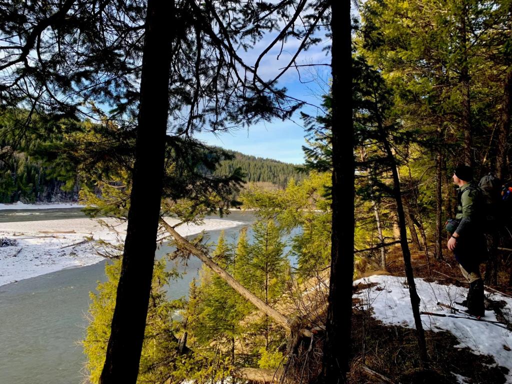
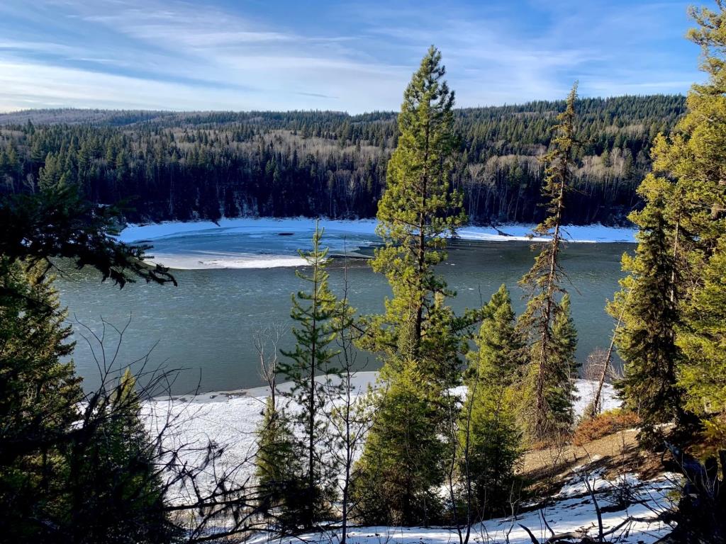
Coburn Trail
Legend
Coburn Trail Comments Want To Get Involved? Post Comment
2023 Mother's Day Workbee posted on: 03 / 15 / 2023
Don't attempt to ride this trail until after our annual workbee, which will follow a hearty pancake & egg "breakfast by donation" at the Red Rock Firehall. Everyone welcome. If you enjoy riding &/or hiking this trail - we sincerely appreciate your help!
Blowdown posted on: 09 / 13 / 2021
Just letting you know the full loop is NOT accessible. You can follow the trail from the S trailhead (beside the red gate) but this is a bit technical, OR ride/drive down to the pit and access the river trail off the short road south towards a closed gate. You will need to back-track at the end or ride the road back to the pit at this point. Hoping for another good workbee to get this opened up but may not happen before the snow flies. Still a beautiful ride!
Trail extended! posted on: 07 / 04 / 2019
We have lengthened the loop at the North end of the trail (sorry Kate Peebles!) and Avenza will tell you you're off the map. However, it IS well marked so go ahead and follow the markers; it's unlikely you'll get lost. Future plan is to extend all the way to Buckhorn Park off of 15 Mile Road where there is a larger staging area.
A M A Z I N G posted on: 06 / 30 / 2019
Fantastic trail, lovely lookouts and view points. Trail was well marked, but using Avenza is advisable as we relied heavily on it to guide us to the correct trail head at the north end. There are some steep areas to navigate, and was wet when we rode it today. We had a fantastic time and will be back again!!!!
Trail markers for loop are complete! posted on: 05 / 30 / 2019
Do not count on the gravel pit gate being unlocked. You can park trailers on the edge of Cale Creek Pit Road. There is a good driveway to back into for turning around.
September 2018 posted on: 09 / 02 / 2018
This trail should be ridden with someone already familiar with it as not all markers are clear & you could get lost unless you have the Avenza map. At this time the pit gate is open.
GPX Upload
Rode this trail? Show the HCBC Trail Community Which Route You Ride
HCBC monitors the integrity of the GPX files uploaded prior to posting on this website. We will contact you via your email if your track is suitable for an Avenza Map.
Name:
Email:
Image Upload
Saw Something Cool? Share it with the HCBC Trail Community
HCBC monitors the integrity of all images and comments posted on this website. Please allow us 24 hours to review the Images uploaded for this trail before they appear on our website. Thank you


