Skagit River Trail

Other
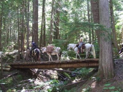
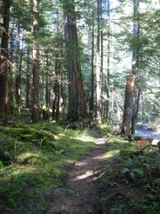
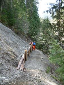
The Skagit River Trail is approximately 15 kms long and runs between Sumallo Grove in Manning Park and 26 Mile Bridge in Skagit Valley Provincial Park.
Hope
14.5 km
approx. 4 hrs one way
49.211212
-121.077346
See more information on the Skagit Valley Trails in the BC Parks brochure at http://www.env.gov.bc.ca/bcparks/explore/parkpgs/skagit/skagit_valley_brochure.pdf
Note: Also check under Upload/Download tab to see if there are more maps available. If the map below shows red lines, these indicate ridable trails which can be downloaded to your GPS (see Upload/Download tab)
The Silver/Skagit Road, which joins Highway #1 three kilometres west of Hope, provides access to the Park. It is 37 km from Highway #1 to the entrance portal and a further 23 km to Ross Lake Reservoir and the Canada-USA border. The Silver/Skagit Road is a well maintained, loose surface road that provides access to several active logging areas before the Park entrance. Motorists are advised to drive with extreme caution and to use headlights at all times. Watch for wildlife and be aware of logging trucks and other industrial equipment. Extra caution should be taken after rain when road surfaces can become muddy and slippery. Note: There are no commercial facilities in the Skagit Valley that provide food, lodging, gas or any other goods or services. Visitors should be equipped with supplies and fuel before leaving Hope or Silver Creek for the Skagit Valley Provincial Park.

Legend

Required
Your email address will not be displayed. This is only so we may contact you if we need to clarify something in your comment.
Required
Required
Required
Note: All of our Geo-Referenced PDF maps are available for free from the Avenza from the Map Store. These maps can be used with the Avenza Maps app on GPS enabled Smartphones and tablets.

GPX Upload
Rode this trail? Show the HCBC Trail Community Which Route You Ride

HCBC monitors the integrity of the GPX files uploaded prior to posting on this website. We will contact you via your email if your track is suitable for an Avenza Map.

Name:

Email:

Please upload GPX files only.


Image Upload
Saw Something Cool? Share it with the HCBC Trail Community

HCBC monitors the integrity of all images and comments posted on this website. Please allow us 24 hours to review the Images uploaded for this trail before they appear on our website. Thank you

Please upload jpeg images only.

Additional files to Download