Coalmine Camp

Horse Camping Site
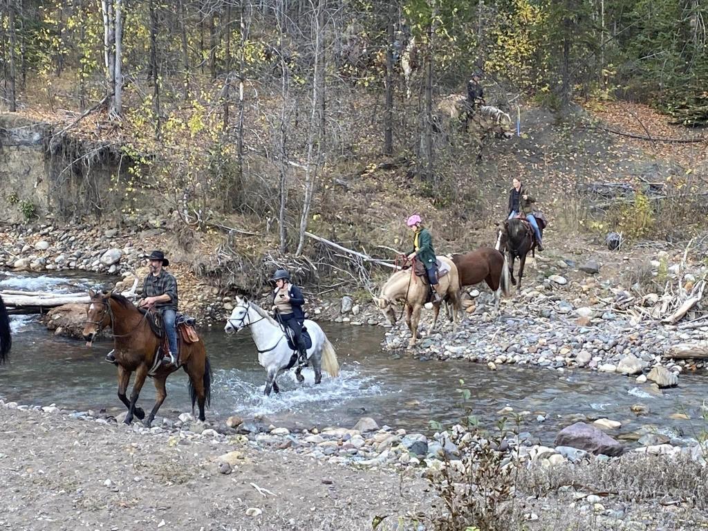
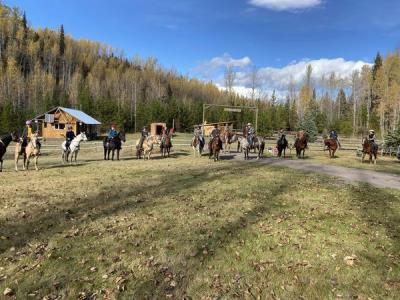
COALMINE CAMP In 2013, our club, BCHBC-NW Began seriously searching for a camp/staging area that club members could use for club events, and riding activities. In 2017 a site was identified on the banks of the Goat Horn Creek 10 km Southwest of Telkwa. 70 years ago the site was a coal mine processing area.The removal/salvage of one old structure left us with a clean slate for developing a camp/staging area for our club. The land is owned by a Telkwa Coal Inc. who generously allowed us to develop the area for long-term use. With the help of a significant Grant from the Wetzin’kwa Forrest Corp., and endless volunteer hours.,
Smithers
11 interconnected equine dedicated trails provide riding opportunities from 1 to 8 hours
52
300
54.63
-127.137
A stream runs along the side of the campground. Water is pumped from the creek to a elevated tank that supplies gravity flow to campsites.Because it is untreated, water is technically not potable.
14 developed camp sites that will accommodate any size truck/trailerAmple open parking
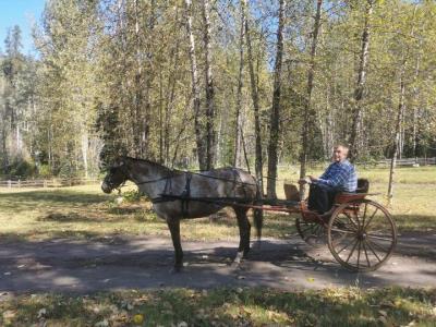
An arena with horse Shelter A cabin/clubhouse with attached picnic shelter. Perimeter and cross fencing. 14 campsites complete with corrals and running water. Skills training course Many kilometres of trails leading from the camp.
Contact BCHBC Northwest Chapter to arrange campsites/parking, and if desired, trail guides.
Note: Also check under Upload/Download tab to see if there are more maps available. If the map below shows red lines, these indicate ridable trails which can be downloaded to your GPS (see Upload/Download tab)
Telkwa is 370 km (4 hours) west of Prince George on highway 16. When entering Telkwa from the east you will drive down a winding hill. Turn left onto Hankin Ave ( towards the River ) at the bottom of the hill. Continue across the bridge, and across the railroad tracks. At this point, the road becomes Telkwa Coalmine road. Continue on this road for 6 km. Take the left fork. This is still called Coalmine road. Follow this road another 4 km. You will pass through a rough sand pit, then proceed down the hill on a fairly good dirt road. At the bottom of this hill, Coalmine Camp is on the right.

Legend

Required
Your email address will not be displayed. This is only so we may contact you if we need to clarify something in your comment.
Required
Required
Required
Note: All of our Geo-Referenced PDF maps are available for free from the Avenza from the Map Store. These maps can be used with the Avenza Maps app on GPS enabled Smartphones and tablets.

GPX Upload
Rode this trail? Show the HCBC Trail Community Which Route You Ride

HCBC monitors the integrity of the GPX files uploaded prior to posting on this website. We will contact you via your email if your track is suitable for an Avenza Map.

Name:

Email:

Please upload GPX files only.


Image Upload
Saw Something Cool? Share it with the HCBC Trail Community

HCBC monitors the integrity of all images and comments posted on this website. Please allow us 24 hours to review the Images uploaded for this trail before they appear on our website. Thank you

Please upload jpeg images only.