Timber Ridge Trails

Horse Camping Site
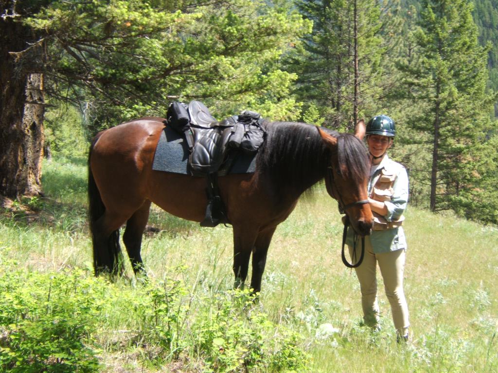
Forested horse trails, single, double track and Forestry Roads, varied terrain and local valley lookout points.
Vernon, Lumby, Coldstream, Lavington
38
472
2
50.19662
-118.941636
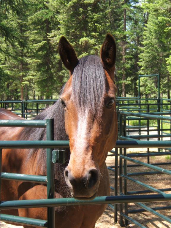
Harris Creek, or at Timber Ridge Trails Horse Camp, horses only, not potable.
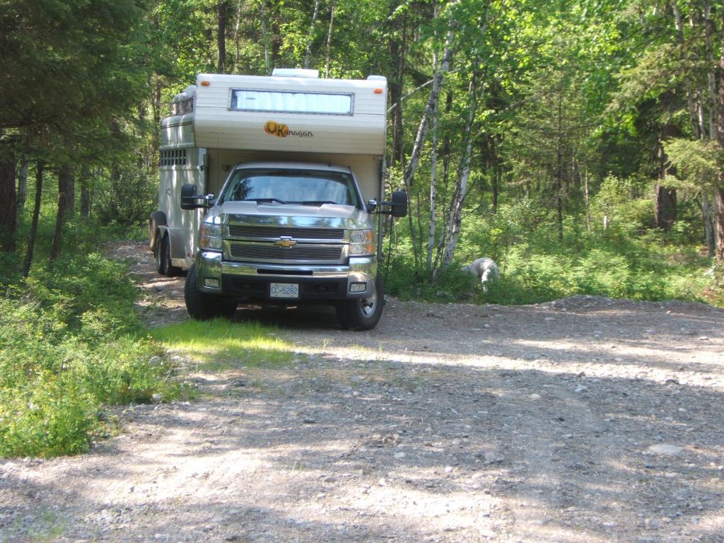
Parking at Nicklen FSR/ Harris FSR Junction, or on Private Property (Timber Ridge Trails, daily parking fee for private property)
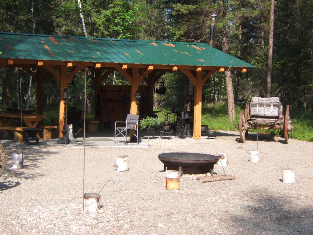
Timber Ridge is a private property, also hosting weddings and events. Permission to park and camp should be requested prior to arrival and fees apply. Harris Creek has undeveloped locations along the creek to park and camp. Contact Darlene phone (250) 309-3544 or email [email protected] and visit http://www.timberridgetrails.com/
Permissions required and daily parking fee/camping fee applies for Timber Ridge.
Note: Also check under Upload/Download tab to see if there are more maps available. If the map below shows red lines, these indicate ridable trails which can be downloaded to your GPS (see Upload/Download tab)
From Hwy 6, 1.7km east of Lumby, turn south (right) 4.3km down Creighton Valley Rd, turn south (right) onto Harris Creek Rd. Travel 4km to the Nicklen FSR/Harris FSR junction and adequate parking is by the cattleguard.

Legend

Required
Your email address will not be displayed. This is only so we may contact you if we need to clarify something in your comment.
Required
Required
Required
Note: All of our Geo-Referenced PDF maps are available for free from the Avenza from the Map Store. These maps can be used with the Avenza Maps app on GPS enabled Smartphones and tablets.

GPX Upload
Rode this trail? Show the HCBC Trail Community Which Route You Ride

HCBC monitors the integrity of the GPX files uploaded prior to posting on this website. We will contact you via your email if your track is suitable for an Avenza Map.

Name:

Email:

Please upload GPX files only.


Image Upload
Saw Something Cool? Share it with the HCBC Trail Community

HCBC monitors the integrity of all images and comments posted on this website. Please allow us 24 hours to review the Images uploaded for this trail before they appear on our website. Thank you

Please upload jpeg images only.

Geo-Ref maps for Avenza Maps App on mobile devices

Note: If you are on a computer, you can print these maps. If you using a mobile device, then these maps are available to download from the Avenza Map Store within the Avenza app.