 HCBC
HCBCLundbom Lake Trails & Equine Campsite Located in the Thompson Okanagan


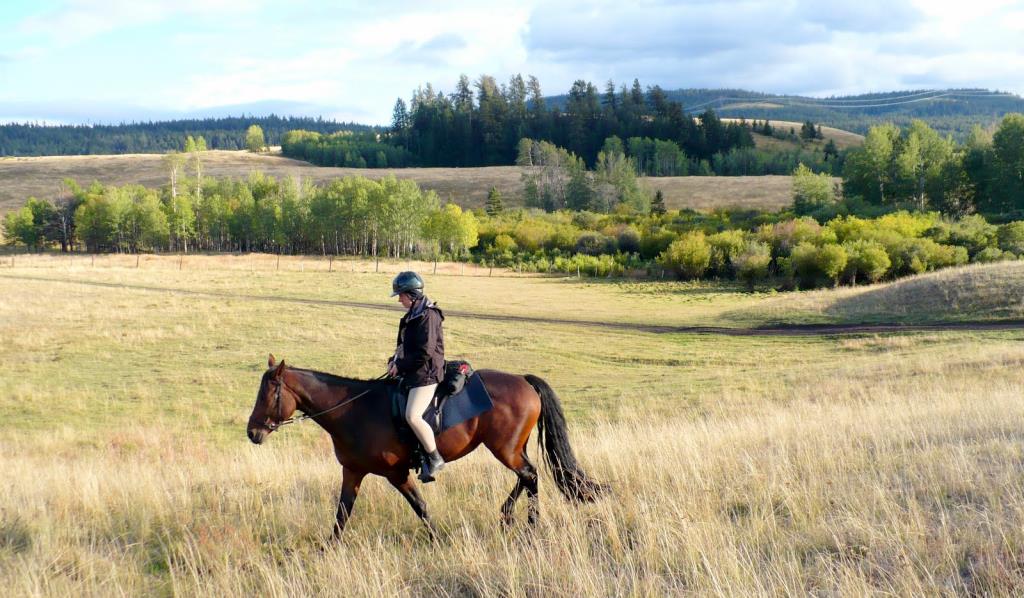
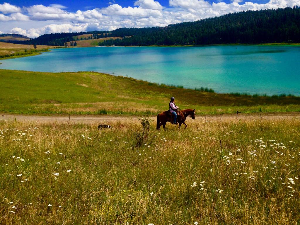
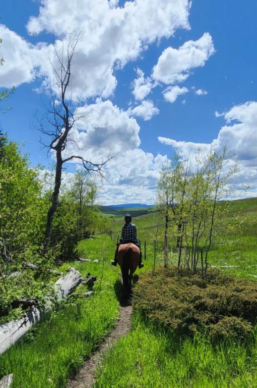
Recent Images
Lundbom Lake Trails & Equine Campsite
Legend
Lundbom Lake Trails & Equine Campsite Comments Want To Get Involved? Post Comment
Corral Update posted on: 05 / 03 / 2026
April 2026, multiple BCHBC Chapters completed an upgrade to the footing in all the corrals. Please pick up your manure and hay in order to keep these corrals in good shape for everyone to enjoy.
Lundbom recent stay posted on: 06 / 30 / 2022
Lundbom never fails to make me happy! I love the open grasslands, so does my horse! We were there in early June which wad still rainy and some thunderstorms etc., I guess that kept a lot of people away, it was very quiet. So glad we were able to get off the Island to enjoy a variety of Horse Camps🐎
Avenza trail map posted on: 09 / 25 / 2020
Sept 2020 used the great Avenza map on my phone. It worked wonderfully. Note that the orange trail that goes down into the private property to the south is closed off at the Private Property - owner has dug out a ditch. Don't worry though - just keep following the trail ahead and the quads have re-routed. Hopefully someone can GPS this whole trail and submit through this website and we (HCBC) will amend the map.
Riding at Lundbom posted on: 07 / 21 / 2013
I have only been to Lundbom in the off season, therefore cannot address the campsite questions, but this is a fantastic place to ride. The directions provided here got us to the campsite perfectly. From the corrals, you can go basically any direction to ride, although for the first time it can be a bit confusing as it seems there are so many options. There are several roads that cut through the area, which are good to follow at first, but then you can also dive off onto cattle trails all over the place. You can easily make a fun loop connecting some of these roads and trails. Since most of the area is open, you can usually always see which direction you need to go in order to go toward or away from the lake and campsites. You cannot ride through the lakeside non-horse campsites, but you can ride on the road around them, and follow this as it connects to other roads. There are some roads that are not passable because of cattle guards, but most have wire fence gates just beside them to cross (you just have to get off to open/close them). There are several small lakes in the area as you explore, but be advised not to try to enter them as they have soft edges and horses can sink in the sand. Enter Lundbom Lake itself with the horses only at the boat launch, which is gravel. Be prepared to see lots of things, including cattle, ATVs, and bears. The footing is good for those on sound horses wanting to go fast, or even those on the semi-retired that may just want to walk. If you stay on the grass/dirt trails a barefoot horse could do just fine. The roads are gravel. This is a great day ride or stay for a few days--there are absolutely endless places to ride.
GPX Upload
Rode this trail? Show the HCBC Trail Community Which Route You Ride
HCBC monitors the integrity of the GPX files uploaded prior to posting on this website. We will contact you via your email if your track is suitable for an Avenza Map.
Name:
Email:
Image Upload
Saw Something Cool? Share it with the HCBC Trail Community
HCBC monitors the integrity of all images and comments posted on this website. Please allow us 24 hours to review the Images uploaded for this trail before they appear on our website. Thank you


