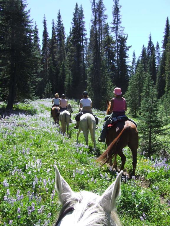
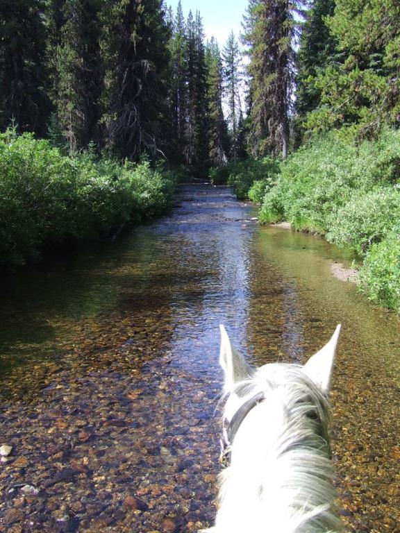
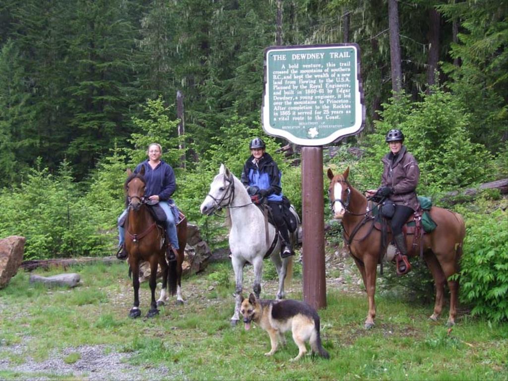
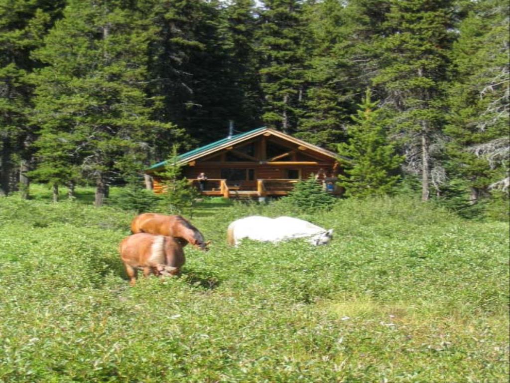
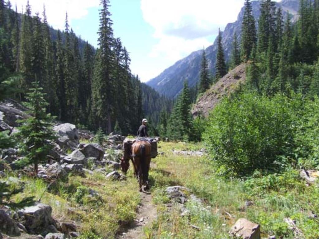
Dewdney Trail-Manning Park

Back Country Trail
The trail commences at the Cascade Recreation Area parking lot (elevation 769 m) located 12 km east of the west entrance to the park or 30 km west of the Manning Park Visitor Centre and ends at Dick's cabin on the Whipsaw Road.
Hope, Manning Park
Whitecloud, Black Eyes, Hudson Bay Bridgade, Whatcom, Warburton Loop, Skagit Bluffs, Hope Pass
36 km total, 15km from Cascade staging area to Tulameen Camp or you can day ride from Cascade staging area
lots
1 hour to 7 days depending where you go
49.134364
-121.32377
creek crossings and springs
The Cascade Recreation Area parking lot (elevation 769 m) is located 12 km east of the west entrance to Manning park. This area can also be accessed from the Whitecloud staging area on the Tulameen Forest Service Road at 52 km.
Camping: at Cascade Trailhead with BCParks permission, various wilderness horse camps, Jacobson Lake Rec site
The Cascade Recreation Area parking lot consists of a 20 vehicle parking area, 2 pit toilets and 3 hitching rails. From the parking lot one follows the west side of Snass Creek in a northerly direction. At 2.5km you will reach the turn off point for the Whatcom Trail to the east, and at 3.5km, from the parking lot, you will arrive at Dry Lake. This lake fills only during spring freshet and dries up by early to mid July. From Dry Lake it is a steady 12.5km climb following a valley to Paradise Valley. If one looks high up on the mountainsides you might be lucky to spot a Grizzly Bear or Mountain Goat. As you near the top end of the canyon, fill your water bottles, as there is limited water at Snass View Camp. At this point one leaves Manning Park and enters the Cascade Recreation Area. Snass View wilderness camp is located at the Whatcom Trail junction, which is also the west end of Paradise Valley. From the Snass View camp the trail leaves in a north-westerly direction going 1km to yet another junction. The left fork or Warburton Trail is a 6km loop trail ending at the Tulameen horse camp. On this portion you will gain some elevation and you will see the last remaining building of the old Evans family cow camp. The family used to run cattle through here in the 1950's. Warburton horse camp is located 3km from Snass View camp. The cabin was built and donated by Chuck Chesnut and Julian Dussault around 1980. The camp and prominent peak is named after nurse Warburton who after being lost for 7 days was found by William A. Davis aka "Podunk Davis". A further 3km brings you to the Tulameen horse camp where Snass Mt. At 2310m can be seen to the south. Approximately 2km from camp the Tulameen River is crossed and the trail follows Hubbard Creek for 6km where there is a very nice open meadow and another horse camp (Hubbard Creek camp). Four km east of the horse camp is Paddy's Pond, which is also a good source of water. From this point you can either turn north, and travel to Coalmont (approximately 30km), or continue east a further 6km to Dick's Cabin. The cabin is at an elevation of 1900m. with lots of subalpine flowers and very picturesque views. Once again you will see a nice view of Snass Mountain. From Dick's cabin you can return the way you came or via the Hope Pass Trail or continue in an easterly direction along Whipsaw Creek on a logging road.
Note: Also check under Upload/Download tab to see if there are more maps available. If the map below shows red lines, these indicate ridable trails which can be downloaded to your GPS (see Upload/Download tab)
The Cascade Recreation Area parking lot (elevation 769 m) is located 12 km east of the west entrance to Manning park.

Legend

Darrell Brewer

White cloud lake to warburton horse camp: distance posted on: 08 / 22 / 2016

At the top of the deactivated White Cloud lake road, there is a junction: straight ahead or go left down into some old cut. I hiked left and eventually came to the war burton loop. As I was heading for Snass view camp, I went right but could not complete the loop because of THE MARSH,so I got to Snass view camp via the Tulameen camp ..a long way around! Back to the White Cloud lake junction...if I go straight ahead, will this take me to the Warburton horse camp and if so, how many km is it?


Tammy

Dewdney Trail posted on: 07 / 01 / 2015

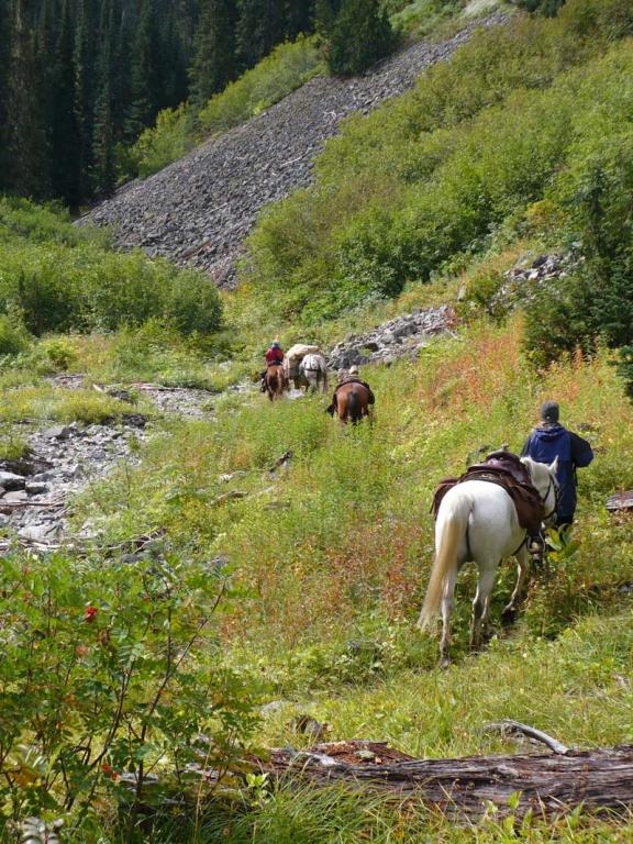
We rode this trail last weekend for the first time. What a beautiful ride.will definitely do it again.


Required
Your email address will not be displayed. This is only so we may contact you if we need to clarify something in your comment.
Required
Required
Required
Note: All of our Geo-Referenced PDF maps are available for free from the Avenza from the Map Store. These maps can be used with the Avenza Maps app on GPS enabled Smartphones and tablets.

GPX Upload
Rode this trail? Show the HCBC Trail Community Which Route You Ride

HCBC monitors the integrity of the GPX files uploaded prior to posting on this website. We will contact you via your email if your track is suitable for an Avenza Map.

Name:

Email:

Please upload GPX files only.


Image Upload
Saw Something Cool? Share it with the HCBC Trail Community

HCBC monitors the integrity of all images and comments posted on this website. Please allow us 24 hours to review the Images uploaded for this trail before they appear on our website. Thank you

Please upload jpeg images only.


Download GPX Tracks for GPS (see Directions/Map tab)