Slocan Valley Rail Trail

Trailhead
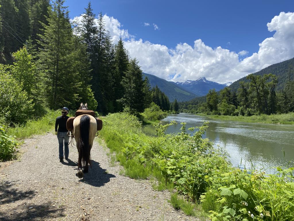
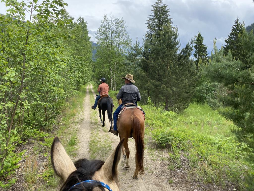
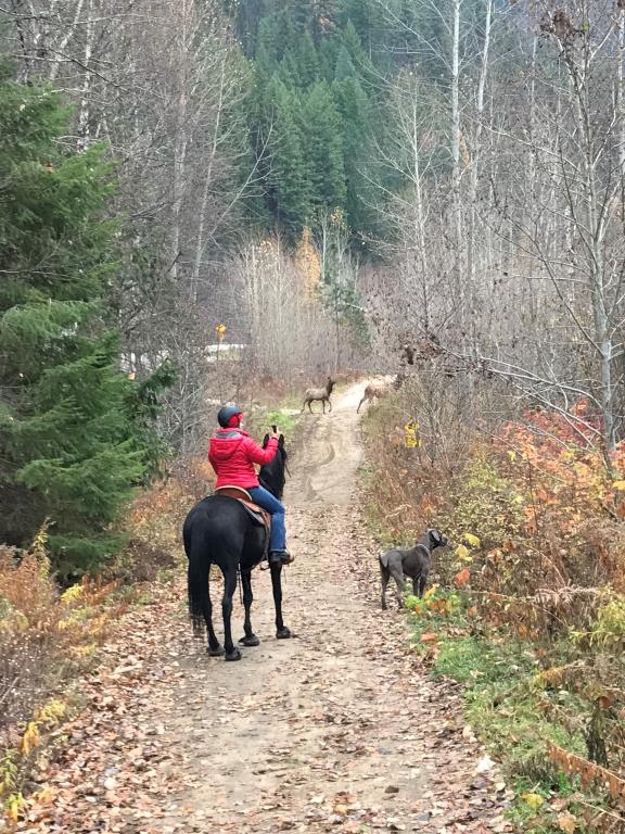
The Slocan Valley Rail Trail is a recreational facility preserving an important part of the Slocan Valley heritage. Visitors can experience a sense of nature and history along the rail trail, including unique riverside scenery in BC's West Kootenay region. The 50 km section of former Canadian Pacific Railway line has been developed by Tourism BC as part of the Spirit of 2010 Trail network. The trail is managed by the Slocan Valley Heritage Trail Society. This trail is now in good condition for cycling, hiking and horse-back riding in the spring/summer/fall. It has mostly a compacted crush surface suitable for hybrid and mountain bike tires. In the winter, the entire trail is compacted, groomed and track-set by a volunteer team for cross-country skiing and winter walking. Trailheads with parking, outhouses and information kiosks are located at Crescent Valley, Passmore, Winlaw, Lemon Creek and Slocan Lake (no outhouse). Food, accomodation and services are available at several points along the trail The trail is for non-motorized use only. Motor vehicles are prohibited. Please respect private property and stay on the trail. Dogs must be kept under control and should be on-leash in areas where livestock and wildlife are present. Horses and riders are welcome on the Slocan Valley Trail during spring, summer and fall. During the winter snow months the trail is groomed and reserved for cross country skiers. The trail is easy and smooth and is for non motorized use.
Slocan, Nelson, Castlegar
Total almost 50 km.
49.768483
-117.473171
Trailheads with parking, outhouses and information kiosks are located at Crescent Valley, Passmore, Winlaw, Lemon Creek and Slocan Lake
Note: Also check under Upload/Download tab to see if there are more maps available. If the map below shows red lines, these indicate ridable trails which can be downloaded to your GPS (see Upload/Download tab)
Off of Hwy 6 between S. Slocan & Slocan, Trail heads at Crescent Valley, Passmore, Winlaw and Slocan Village are ample enough for horse trailers and there is also room on adjacent secondary roads in Passmore, Winlaw and Slocan for bigger rigs.

Legend

Brent Wray

Slocan Rail Trail rides posted on: 07 / 20 / 2022

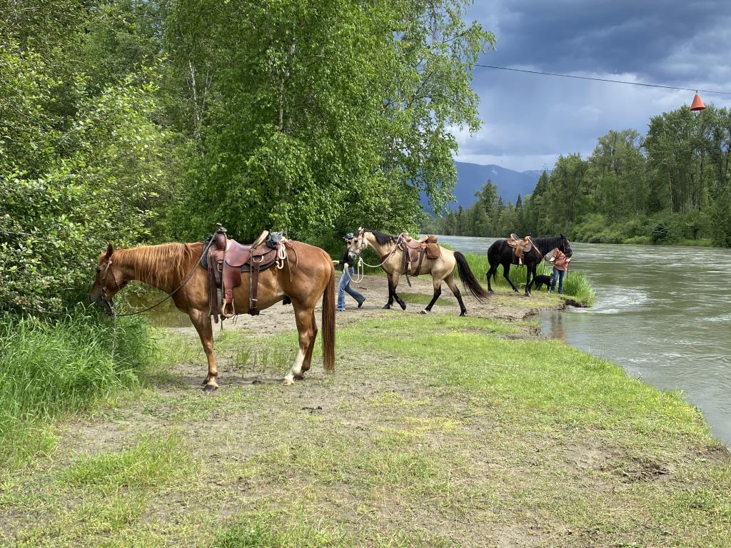
I've ridden the Rail Trail many times over the last couple years. It's especially great in Spring and Fall, but the mosquitoes can be bad in summer. Very scenic with lots of great trot & canter sections. Fantastic for putting easy distance and experience on a young horse, or conditioning a more seasoned horse. Winlaw is a great central place to stage from and do a thru ride, if you've got a shuttle vehicle. Ride south to Passmore, Slocan Park or Crescent Valley or else ride north to Slocan. We recently rode Winlaw north to Slocan, played in the lake, then parked the horses at the Horseman's Grounds and enjoyed great food from The Grizz Food Truck (Fri noon thru weekend). July ride and lots of mossies, but it was worth it!


Emma

South Slocan Trail Head posted on: 07 / 30 / 2012

There is also a trail head (the official trail head) located in South Slocan. When coming from Nelson, it is the first right after the Dam Inn pub. There's a fairly large parking lot and an outhouse. Warning: the highway must be crossed in Crescent Valley at the Frog Peak Cafe.


Required
Your email address will not be displayed. This is only so we may contact you if we need to clarify something in your comment.
Required
Required
Required
Note: All of our Geo-Referenced PDF maps are available for free from the Avenza from the Map Store. These maps can be used with the Avenza Maps app on GPS enabled Smartphones and tablets.

GPX Upload
Rode this trail? Show the HCBC Trail Community Which Route You Ride

HCBC monitors the integrity of the GPX files uploaded prior to posting on this website. We will contact you via your email if your track is suitable for an Avenza Map.

Name:

Email:

Please upload GPX files only.


Image Upload
Saw Something Cool? Share it with the HCBC Trail Community

HCBC monitors the integrity of all images and comments posted on this website. Please allow us 24 hours to review the Images uploaded for this trail before they appear on our website. Thank you

Please upload jpeg images only.

Additional files to Download

Geo-Ref maps for Avenza Maps App on mobile devices

Note: If you are on a computer, you can print these maps. If you using a mobile device, then these maps are available to download from the Avenza Map Store within the Avenza app.