 HCBC
HCBCBurnaby Lake Regional Park Located in the Fraser Valley West


Recent Images
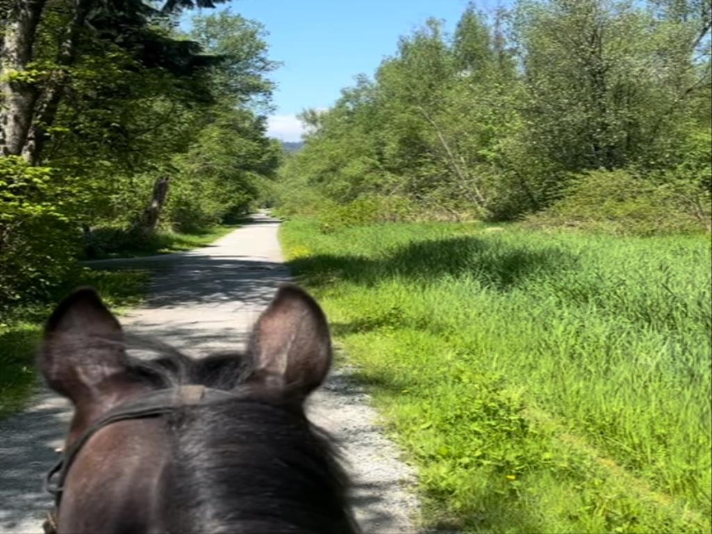
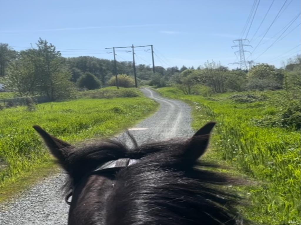
Burnaby Lake Regional Park
Legend
Burnaby Lake Regional Park Comments Want To Get Involved? Post Comment
BHA trails posted on: 07 / 17 / 2012
I grew up riding those trails at the end of Burnaby Lake. The noise from the highway isn't that bad, the horses get used to it. The main concern is, some of the trails are built on marsh and under no circumstances should you ride your horse off the trail. Other than that, the trails are gorgeous!!!! loved them, miss them.
Highway posted on: 07 / 09 / 2009
You don't have to ride down the Highway section of the trail. The loops near the Burnaby Equestrian Centre are in a wooded area away from the highway.
GPX Upload
Rode this trail? Show the HCBC Trail Community Which Route You Ride
HCBC monitors the integrity of the GPX files uploaded prior to posting on this website. We will contact you via your email if your track is suitable for an Avenza Map.
Name:
Email:
Image Upload
Saw Something Cool? Share it with the HCBC Trail Community
HCBC monitors the integrity of all images and comments posted on this website. Please allow us 24 hours to review the Images uploaded for this trail before they appear on our website. Thank you


