 HCBC
HCBCPacific Spirit Regional Park Located in the Vancouver-Coastal

Recent Images
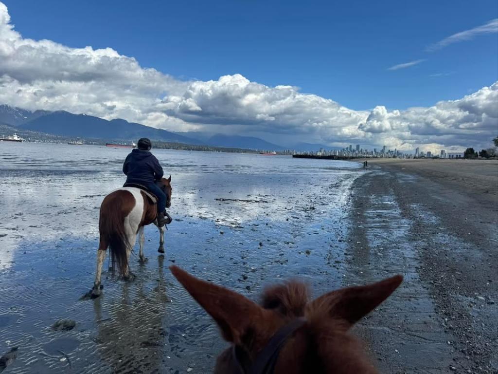
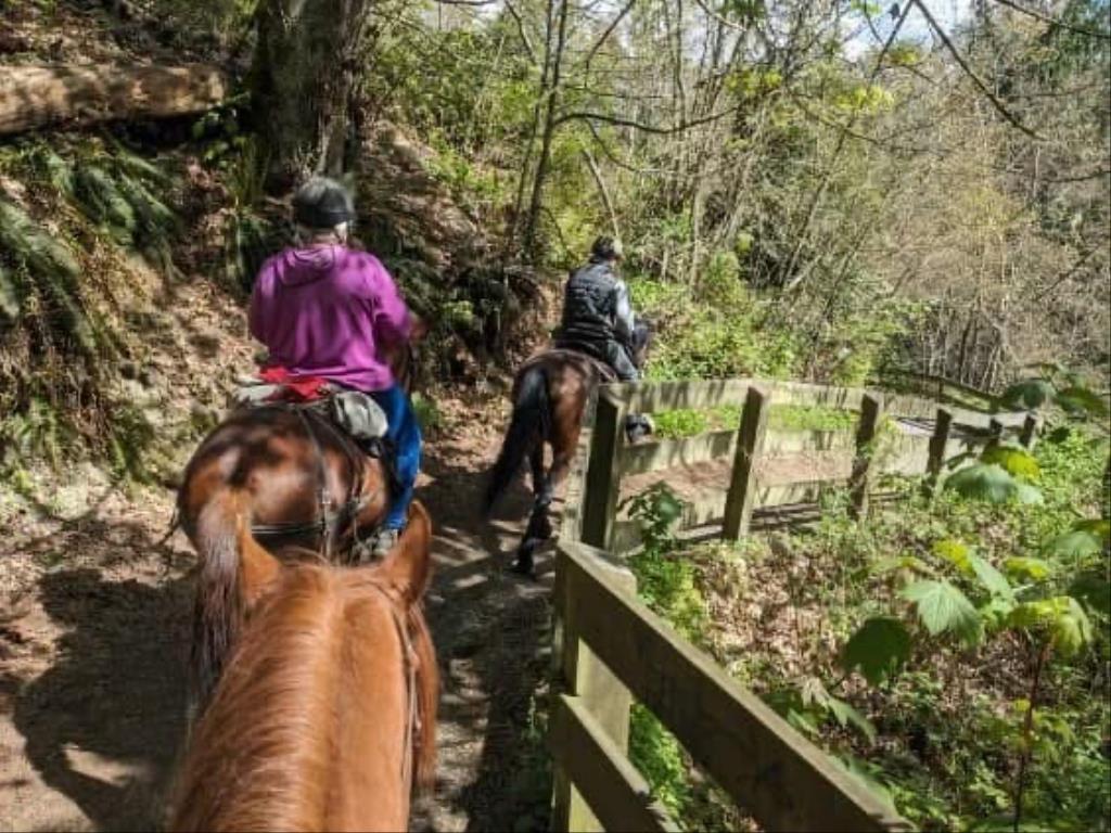
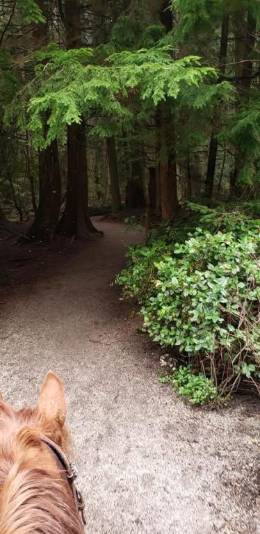
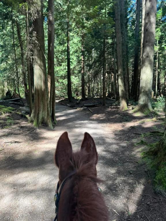
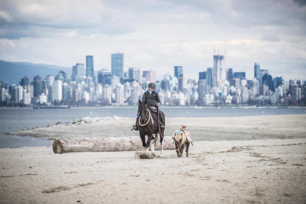
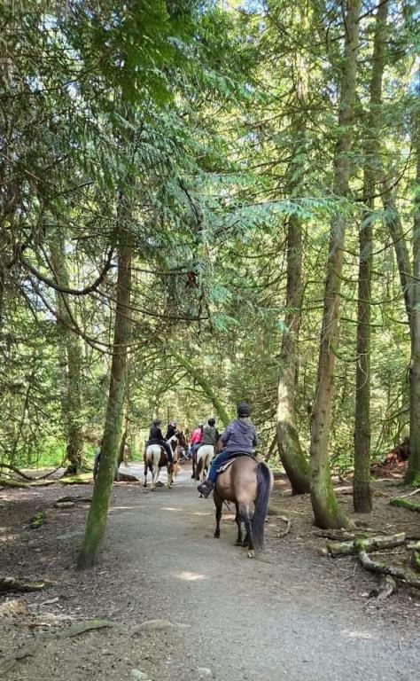
Pacific Spirit Regional Park
Note: Also check under Files Maps Upload/Download tab to see if there are more maps available. If the map below shows red lines, these indicate ridable trails which can be downloaded to your GPS (see Files Maps Upload/Download tab)
Legend
Pacific Spirit Regional Park Comments Want To Get Involved? Post Comment
linda
No horses on SW Marine Trail posted on: 12 / 15 / 2024
Due to damage to a culvert, Southwest Marine Trail is temporarily closed to horses between Camosun St. entrance and Clinton Trail. Equestrians can detour using the St, George's Trail entrance on Camosun St. Please check the Vancouver Parks website for the most up to date info: https://metrovancouver.org/services/regional-parks/park/pacific-spirit-regional-park
Note: All of our Geo-Referenced PDF maps are available for free from the Avenza from the Map Store. These maps can be used with the Avenza Maps app on GPS enabled Smartphones and tablets.
GPX Upload
Rode this trail? Show the HCBC Trail Community Which Route You Ride
HCBC monitors the integrity of the GPX files uploaded prior to posting on this website. We will contact you via your email if your track is suitable for an Avenza Map.
Name:
Email:
Image Upload
Saw Something Cool? Share it with the HCBC Trail Community
HCBC monitors the integrity of all images and comments posted on this website. Please allow us 24 hours to review the Images uploaded for this trail before they appear on our website. Thank you


