High Rim Trail

Back Country Trail
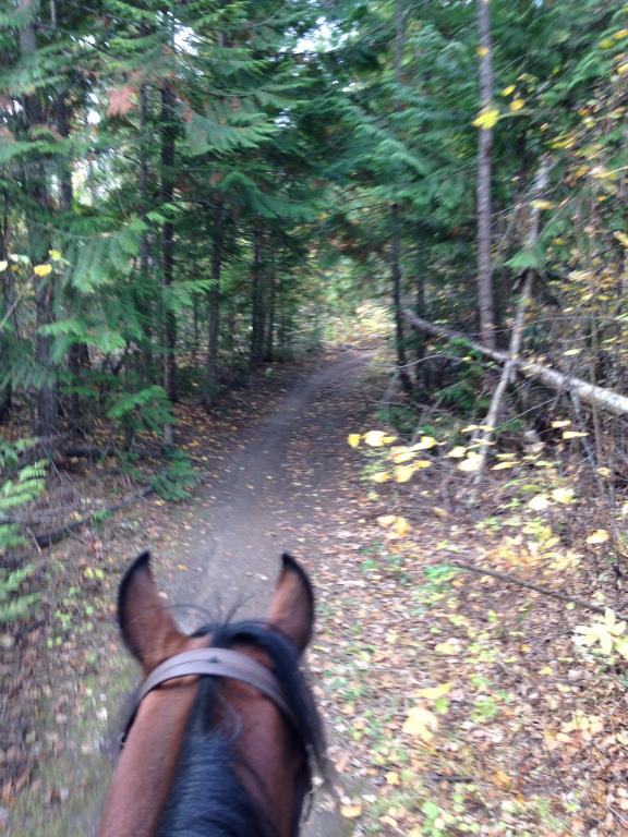
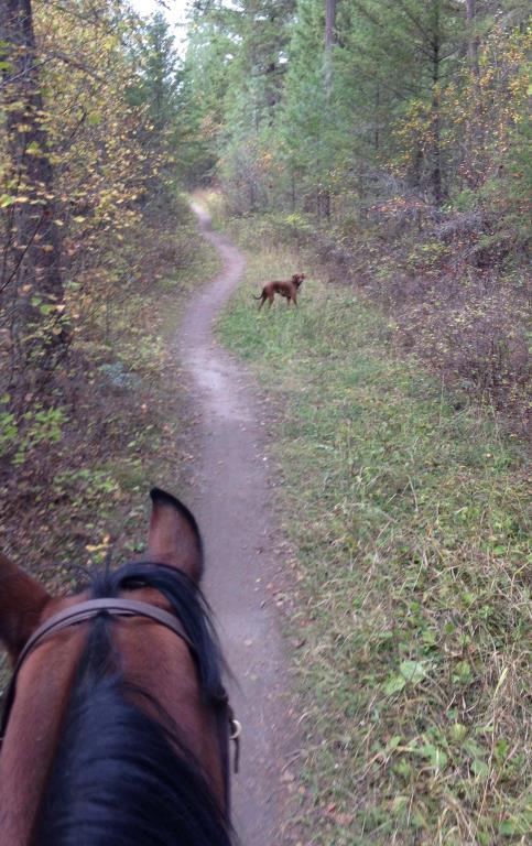
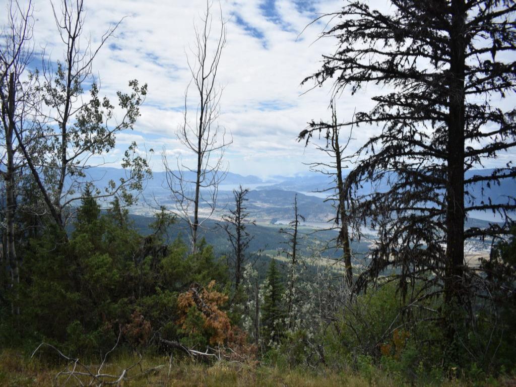
The High Rim Trail (HRT) was started as a vision of an Okanagan Valley trail network by retired forester, Bruce Somner constructed in the early 1990’s. Several Organizations were instrumental in the development and maintenance of this trail. The Okanagan High Rim Trail Association maintains, improves and promotes the High Rim Trail from Vernon to Kelowna and is the best resource for current information: https://highrimtrail.ca/trail-resources/ Most of the trail is deep in the forest, although there are a handful of excellent viewpoints along the way. The trail is basically a long undulating traverse with a climb at the start and a descent at the finish. There are sections of the HRT that are NOT suitable for horses. Please review each section described in additional notes. This is a multi-use trail and one will encounter both hikers and Mtn Bikers along the way.
Vernon, Kelowna
Kalamalka Lake Provincial Park Trails
50 km
2,094 m
Multi-day
50.121584
-119.164663
The availability of creek water will be dependant on weather and time of year.
Parking at the Cosens Bay trailhead is very limited for horse trailers. Basically the shoulder of the road can accommodate 1-2 trailers. Horse trailer parking is available at Twin Bays parking lot, however this will increase your ride time to reach the High Rim Trail over at Cosens Bay.
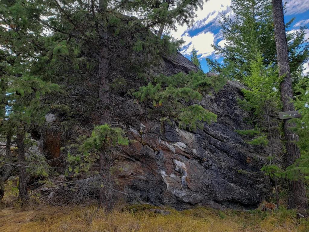
The HRT is broken down into 6 sections. Map 1 Cosens Bay to Microwave Tower Multi-use. 14 kms. This is a steep section to an excellent viewpoint of Kal Lake. The initial ascent from Cosens Bay is through cycling trails so be aware of potentially fast moving bikers. Map 2. Microwave tower to the Monolith - 8.3 km Multi-use EQ reroute section near the Oyama Lake FSR The monolith has geological significance as it is a glacial erratic deposited here by a long -receded glacier. Can access this segment from the Oyama Lake Lodge Road Trailhead. 2-3 km one way hike will bring you to the monolith. Map 3 Beaver Lake Rd TH to Monotlith – 9.2 km All users. Wrinkly Face PP on this section The trail south from Beaver Lake Rd, is NOT suitable for horses. Mostly obscured views and crosses multiple roads. Map 4 Vernon Creek to James Lake FSR - 10.9 km EQ staging area is at the Redwing FSR. Horses can only go south to Goudie FSR. Map 5. Goudie FSR to James Lake FSR is 9.9 km All users. EQ to stage at the Redwing FSR and head South to Goudie FSR. The Grandview viewpoint is excellent. Pit toilet, benches and firepit. Map 6. Goudie Rd TH South to Mission Creek 8.9 km isa hikers section only. Not suitable for horses. Not included in maps. There are pink and black signs and markers to follow so you can keep on track. If you come out of a clearing, always look ahead for the next marker before you walk too far in the wrong direction. WARNINGS: There are countless intersections with main forestry roads; watch carefully for signage and always carry a GPS with the trail map. Absolutely do not go without one, and definitely bring a battery backup. The trail is littered with pink and black ribbon which often marks the correct route; however, at times can indicate a bike trail (of which there are many).
Note: Also check under Files Maps Upload/Download tab to see if there are more maps available. If the map below shows red lines, these indicate ridable trails which can be downloaded to your GPS (see Files Maps Upload/Download tab)
The main trailhead in the north is located in Kalamalka Lake Provincial Park. There is an EQ staging area at the Redwing FSR. Staging areas for trailheads can be viewed on the Okanagan High Rim Trail Association website.

Legend

Julie J

Okanagan high rim trail posted on: 08 / 23 / 2023

This is trail is beautiful but parts of it are not passable for horses. If you are hiking in spring or early summer pack bug spray.


Required
Your email address will not be displayed. This is only so we may contact you if we need to clarify something in your comment.
Required
Required
Required
Note: All of our Geo-Referenced PDF maps are available for free from the FO Faena Offline Maps App under the Discover banner within the App. FO Maps has 3 levels of subscriptions. Find details by clicking on the Pro banner. The Explorer version was built for HCBC and provides extra base map coverage while offline and weather data for each map area.

GPX Upload
Rode this trail? Show the HCBC Trail Community Which Route You Ride

HCBC monitors the integrity of the GPX files uploaded prior to posting on this website. We will contact you via your email if your track is suitable for an Avenza Map.

Name:

Email:

Please upload GPX files only.


Image Upload
Saw Something Cool? Share it with the HCBC Trail Community

HCBC monitors the integrity of all images and comments posted on this website. Please allow us 24 hours to review the Images uploaded for this trail before they appear on our website. Thank you

Please upload jpeg images only.

Geo-Ref maps for FO Maps App on Mobile phones

Note: All the maps listed are printable. If you are using your mobile phone, these maps are available to download from FO Faena Offline Maps App Install the maps and they are located under the Discover banner on the main screen.