 HCBC
HCBCBrewster Horse Camp Located in the Vancouver Island-Central Coast

Recent Images
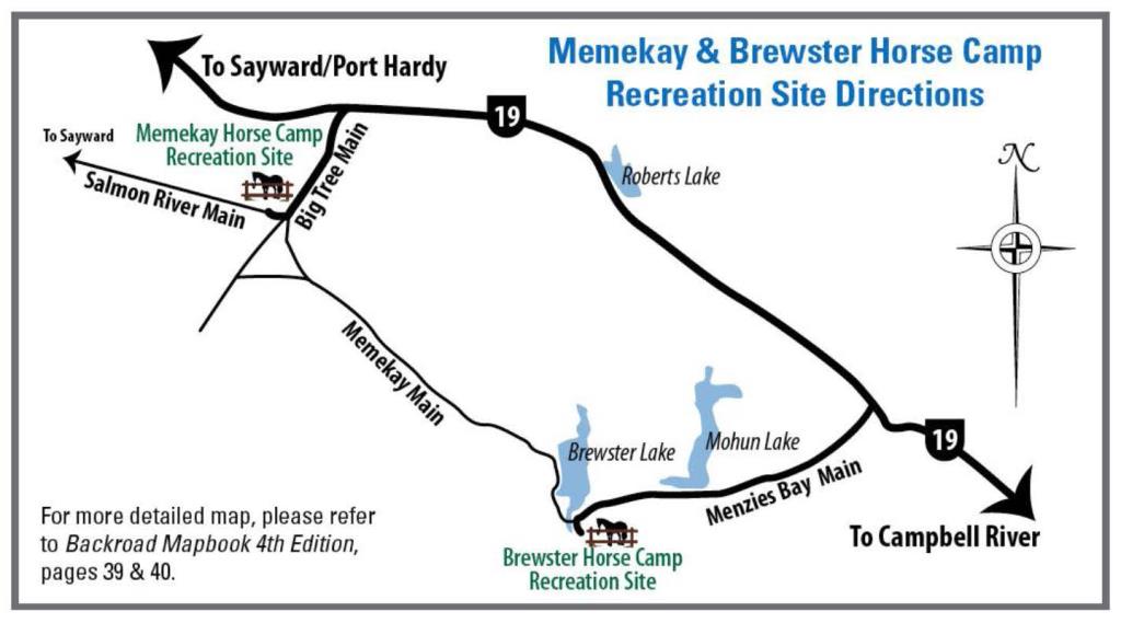
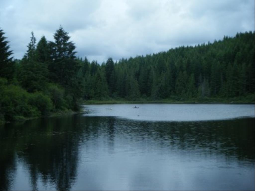
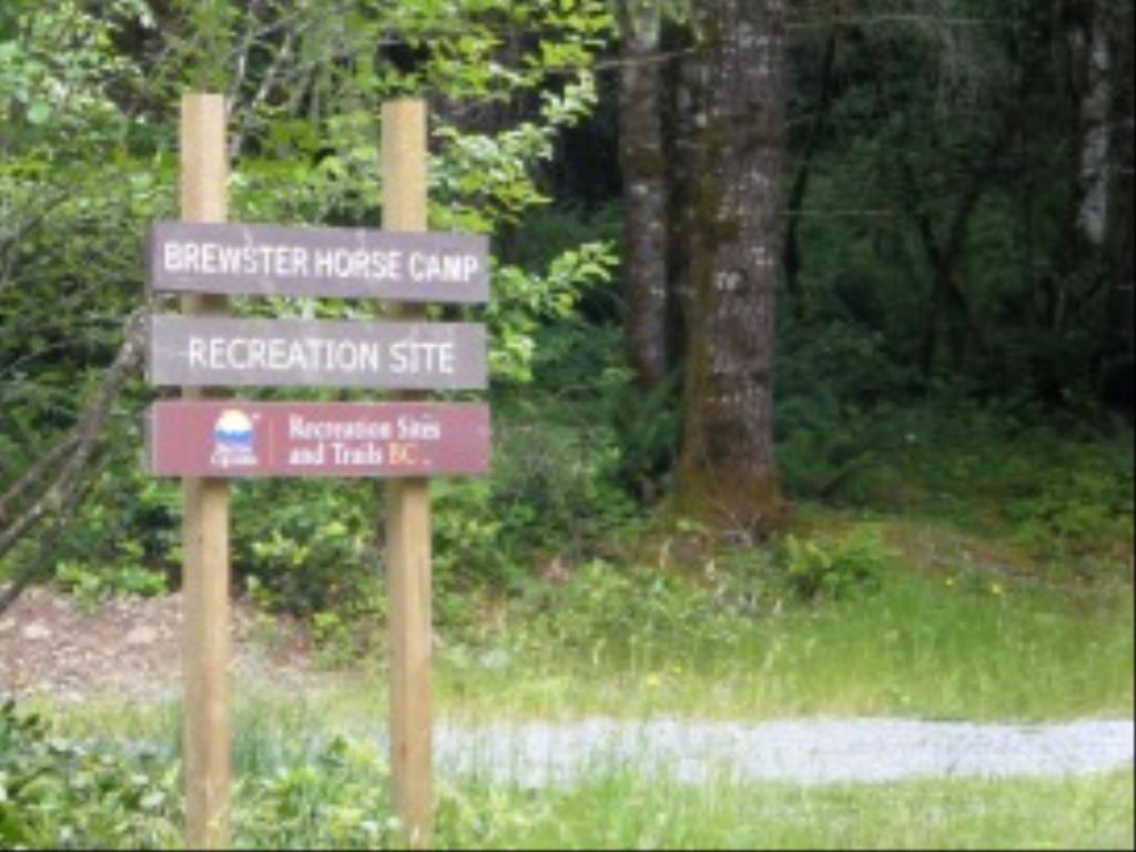
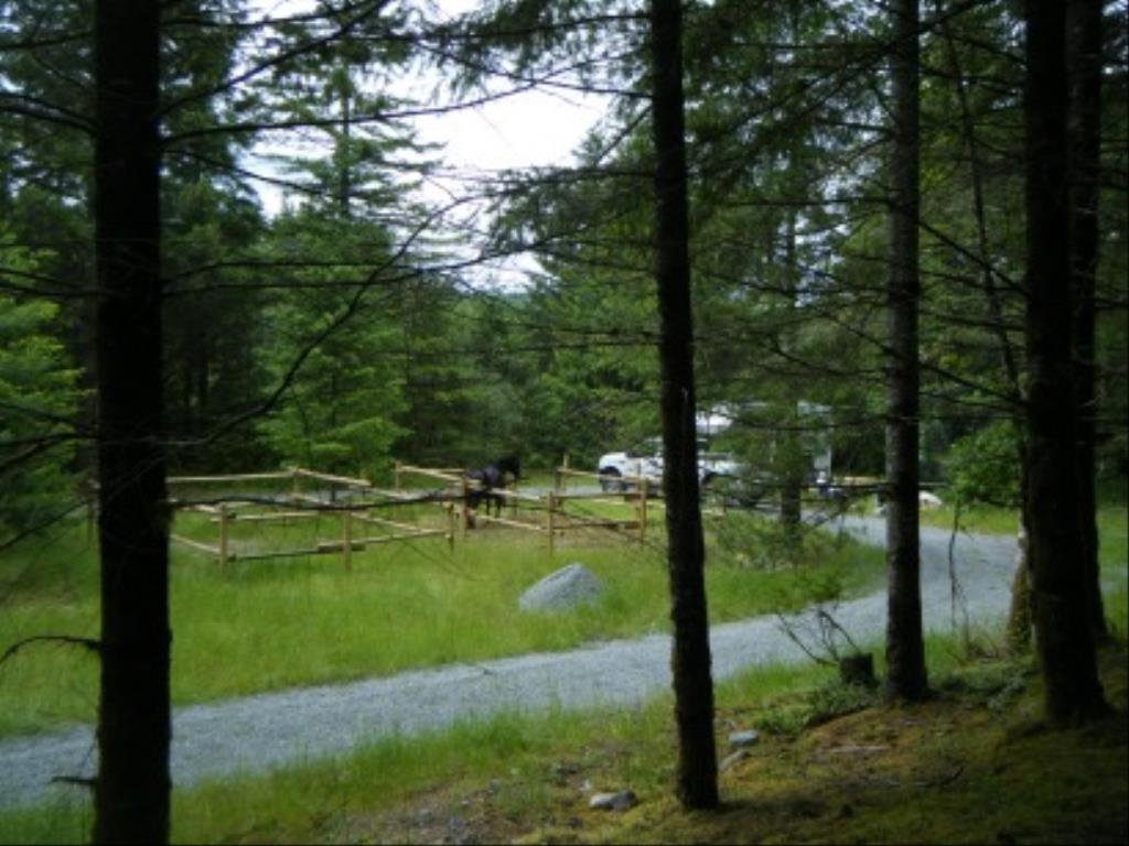
Brewster Horse Camp
Note: Also check under Files Maps Upload/Download tab to see if there are more maps available. If the map below shows red lines, these indicate ridable trails which can be downloaded to your GPS (see Files Maps Upload/Download tab)
Legend
Brewster Horse Camp Comments Want To Get Involved? Post Comment
Sharon Pickthorne
Trail improvements 2025 posted on: 01 / 06 / 2025
The 40 km trail corridor is being rehabilitated during 2025 and should be complete by the Fall. Please check the Facebook page Back Country Horsemen-NVI for status.
Deb Oakman
Brewster Horse Camp posted on: 04 / 22 / 2019
Big thanks to BCHBC South Vancouver Island chapter who have donated their time and material to construct two new paddocks this easter weekend (April 2019). There are now Four large paddocks!
Note: All of our Geo-Referenced PDF maps are available for free from the Avenza from the Map Store. These maps can be used with the Avenza Maps app on GPS enabled Smartphones and tablets.
GPX Upload
Rode this trail? Show the HCBC Trail Community Which Route You Ride
HCBC monitors the integrity of the GPX files uploaded prior to posting on this website. We will contact you via your email if your track is suitable for an Avenza Map.
Name:
Email:
Image Upload
Saw Something Cool? Share it with the HCBC Trail Community
HCBC monitors the integrity of all images and comments posted on this website. Please allow us 24 hours to review the Images uploaded for this trail before they appear on our website. Thank you


