Silver Star Provincial Park Located in the Thompson Okanagan


Recent Images
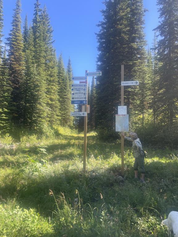
Silver Star Provincial Park
Note: Also check under Files Maps Upload/Download tab to see if there are more maps available. If the map below shows red lines, these indicate ridable trails which can be downloaded to your GPS (see Files Maps Upload/Download tab)
Legend
Silver Star Provincial Park Comments Want To Get Involved? Post Comment
Linda B
New Equestrian Map posted on: 03 / 13 / 2026
We have an Equestrian map for summer use here at Silver Star Provincial Park! Please stay on these designated trails as they will keep you away from trails that remain boggy year round, and keeps our relationship strong with those who supported us. Go to the Maps Tab to download.
Note: All of our Geo-Referenced PDF maps are available for free from the FO Faena Offline Maps App under the Discover banner within the App. FO Maps has 3 levels of subscriptions. Find details by clicking on the Pro banner. The Explorer version was built for HCBC and provides extra base map coverage while offline and weather data for each map area.
GPX Upload
Rode this trail? Show the HCBC Trail Community Which Route You Ride
HCBC monitors the integrity of the GPX files uploaded prior to posting on this website. We will contact you via your email if your track is suitable for an Avenza Map.
Name:
Email:
Image Upload
Saw Something Cool? Share it with the HCBC Trail Community
HCBC monitors the integrity of all images and comments posted on this website. Please allow us 24 hours to review the Images uploaded for this trail before they appear on our website. Thank you