 HCBC
HCBCSpruston Road Rec Site and Trail System Located in the Vancouver Island-Central Coast

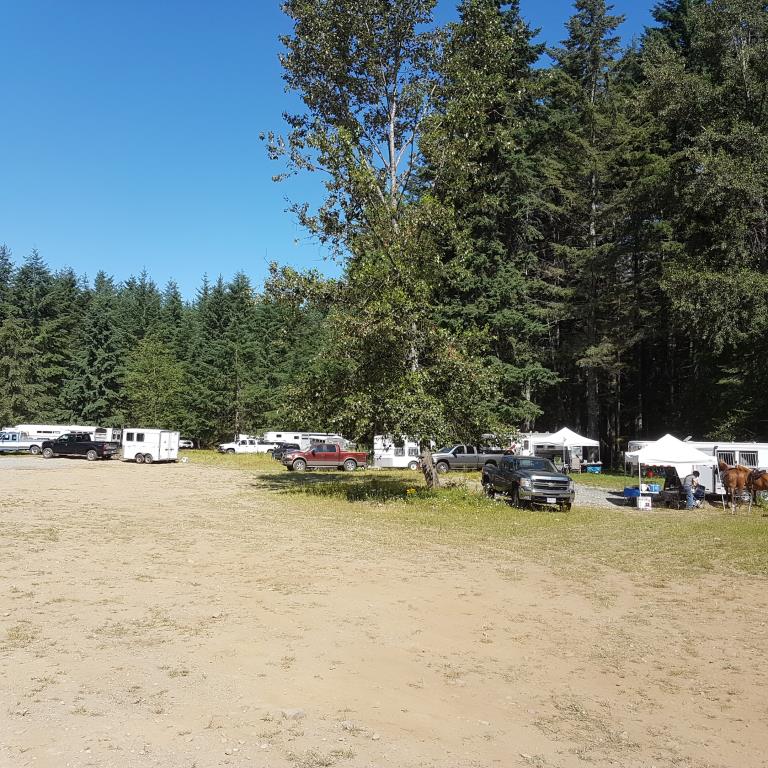
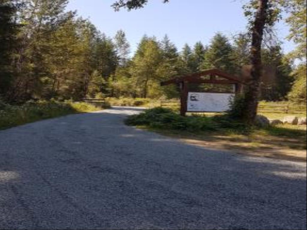
Recent Images
Spruston Road Rec Site and Trail System
Legend
Spruston Road Rec Site and Trail System Comments Want To Get Involved? Post Comment
Wasp nest location posted on: 08 / 02 / 2024
Wasp Nest in ground on Tornado Alley at the mudhole (beside the foot bridge) discoved July 29, 2024
Key Code Required posted on: 08 / 23 / 2022
Due to vandalism this rec site is now protected with a locked gate. To get the key code you are required to be a Back Country Horsemen of BC (BCHBC) member. To sign up for a membership go to www.bchorsemen.org
Spruston map on your phone posted on: 07 / 18 / 2018
A geo-ref map is available on Avenza Maps, on your smartphone. No data or cell phone service is needed to use it. See info under Directions/Map tab.
GPX Upload
Rode this trail? Show the HCBC Trail Community Which Route You Ride
HCBC monitors the integrity of the GPX files uploaded prior to posting on this website. We will contact you via your email if your track is suitable for an Avenza Map.
Name:
Email:
Image Upload
Saw Something Cool? Share it with the HCBC Trail Community
HCBC monitors the integrity of all images and comments posted on this website. Please allow us 24 hours to review the Images uploaded for this trail before they appear on our website. Thank you


