Skmana Lake Trails

Day Ride Trail
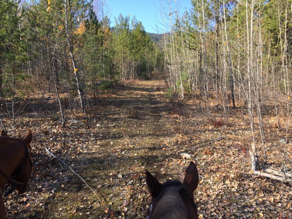
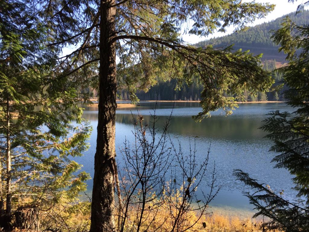
Skmana Lake Trails is a series of nordic ski and snowshoe trails maintained by the Skmana Ski Club. Lots of fun to ride in the spring, summer and especially the fall.
Chase, BC
Approx 14 kms of looping trails
50 metres
Approx. 3 hours
50.87013
-119.73928
Minimal seasonal creeks or lake access
There is a large parking area just off Loakin-Bear Creek Rd. Advise not to drive up the Forest Service Road.
Ride above the the lake on the snowshoe trails give you great views of Skmana lake. All the snowshoe and x-country trails are fun to ride with the snowshoe trails being single track. The Sunflower and Buttercup trail around the lake is NOT suitable for horses as this is a very boggy, marshy trail. The trail named The Landing is not worth the effort, no viewpoint just a landing space. We did not ride the Kinnickinnicek Trek as this is the main Forest Service Road.
Note: Also check under Files Maps Upload/Download tab to see if there are more maps available. If the map below shows red lines, these indicate ridable trails which can be downloaded to your GPS (see Files Maps Upload/Download tab)
From Downtown Chase follow Pine Street north to the Neskonlith Lake Road. Travel west along this gravel road for 3 km, where you will come to a fork. Take the right fork and go up the hill. You will be rewarded here with a spectacular view of Little Shuswap Lake, the Villages of Chase and Adams Lake First Nations, as well as the South Thompson River and the farmlands along the VLA road. Stay on this road for another 10 km. until you pass under the B.C. Hydro transmission lines. Watch for the parking lot on your left. Alternatively (coming from the east) travel north across the Squilax Bridge, then left on the Adams Lake Road. Watch for the Skmana Ski signs, turning left/west and following the Loakin-Bear Creek Road to the recreation site.

Legend

Required
Your email address will not be displayed. This is only so we may contact you if we need to clarify something in your comment.
Required
Required
Required
Note: All of our Geo-Referenced PDF maps are available for free from the FO Faena Offline Maps App under the Discover banner within the App. FO Maps has 3 levels of subscriptions. Find details by clicking on the Pro banner. The Explorer version was built for HCBC and provides extra base map coverage while offline and weather data for each map area.

GPX Upload
Rode this trail? Show the HCBC Trail Community Which Route You Ride

HCBC monitors the integrity of the GPX files uploaded prior to posting on this website. We will contact you via your email if your track is suitable for an Avenza Map.

Name:

Email:

Please upload GPX files only.


Image Upload
Saw Something Cool? Share it with the HCBC Trail Community

HCBC monitors the integrity of all images and comments posted on this website. Please allow us 24 hours to review the Images uploaded for this trail before they appear on our website. Thank you

Please upload jpeg images only.

Geo-Ref maps for FO Maps App on Mobile phones

Note: All the maps listed are printable. If you are using your mobile phone, these maps are available to download from FO Faena Offline Maps App Install the maps and they are located under the Discover banner on the main screen.