 HCBC
HCBCWoodlands Group Camp - Golden Ears Park Located in the Fraser Valley


Recent Images
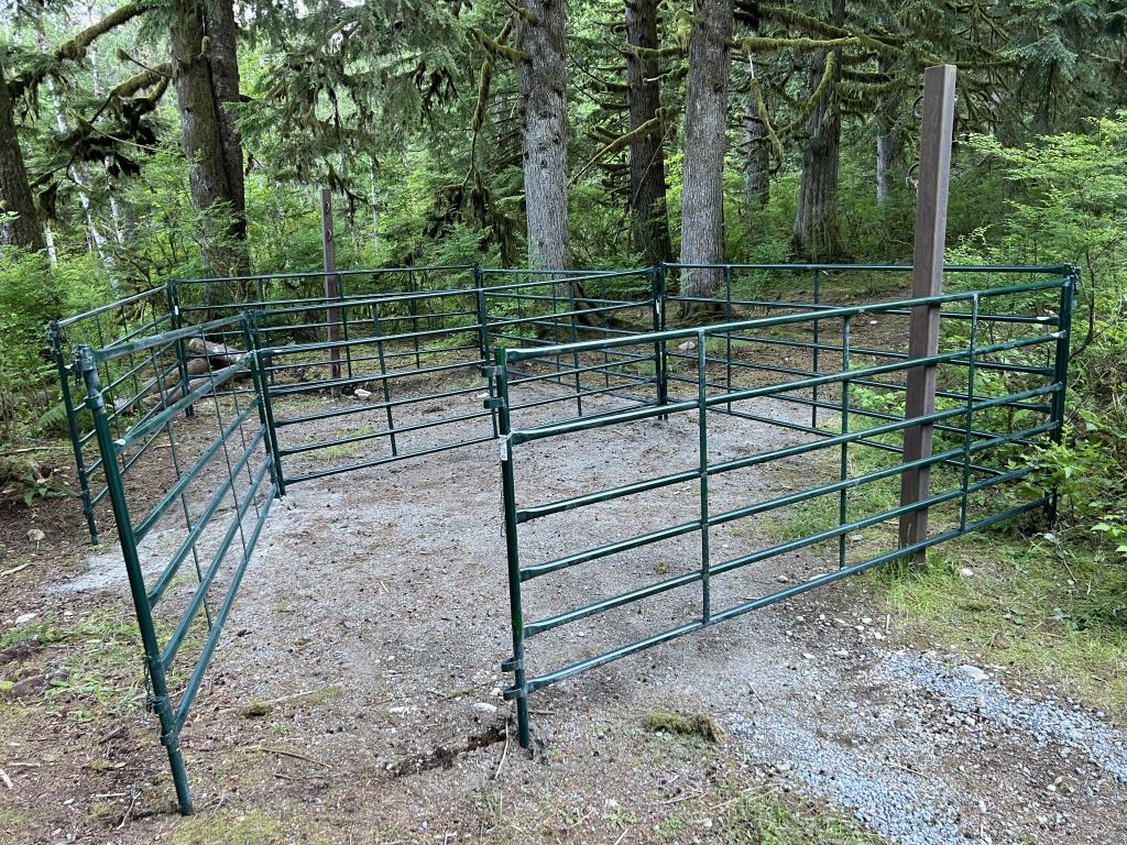
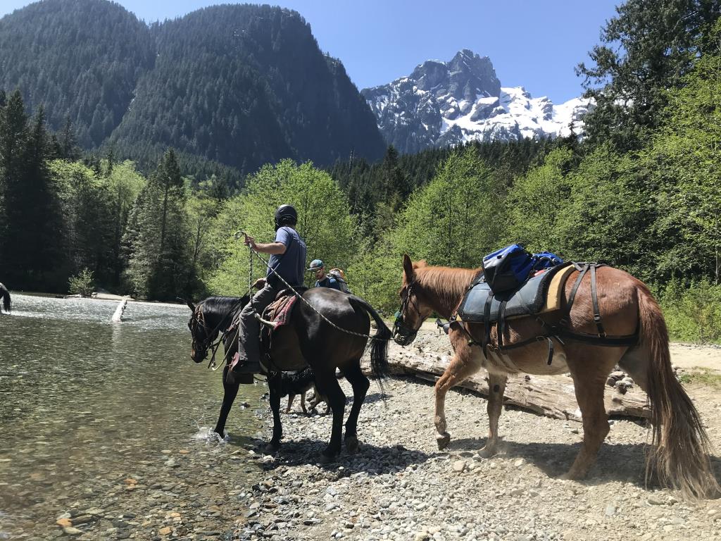
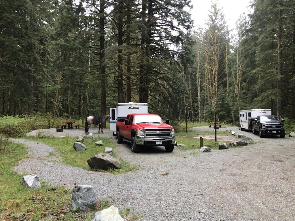
Woodlands Group Camp - Golden Ears Park
Legend
Woodlands Group Camp - Golden Ears Park Comments Want To Get Involved? Post Comment
Camping posted on: 05 / 12 / 2026
Good morning. We have a reservation at this group site from May 14th until May 18th. The large field next to this group site has 2 ft long grass and we are wondering if that will be mowed / cut before we arrive. We use this field for the children, and games, and it would be nice if it was not 2 ft long if possible. Your attention to this matter is greatly appreciated. HI, it's the Park Operator who maintains the Woodlands Group site. You will have to contact BC Parks. The intro for this record did say BCHBC but we just learned this was incorrect.
GPX Upload
Rode this trail? Show the HCBC Trail Community Which Route You Ride
HCBC monitors the integrity of the GPX files uploaded prior to posting on this website. We will contact you via your email if your track is suitable for an Avenza Map.
Name:
Email:
Image Upload
Saw Something Cool? Share it with the HCBC Trail Community
HCBC monitors the integrity of all images and comments posted on this website. Please allow us 24 hours to review the Images uploaded for this trail before they appear on our website. Thank you


