 HCBC
HCBCDewar Hot Springs Trail in Purcell Wilderness Conservancy Provincial Park Located in the Kootenays
Recent Images
Dewar Hot Springs Trail in Purcell Wilderness Conservancy Provincial Park
Note: Also check under Files Maps Upload/Download tab to see if there are more maps available. If the map below shows red lines, these indicate ridable trails which can be downloaded to your GPS (see Files Maps Upload/Download tab)
Legend
Dewar Hot Springs Trail in Purcell Wilderness Conservancy Provincial Park Comments Want To Get Involved? Post Comment
Brent Wray
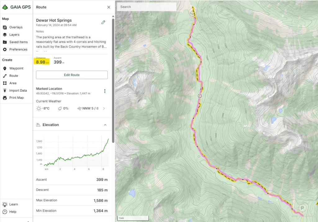
Distance looks incorrect posted on: 01 / 25 / 2026
Under "Specifics", distance is said to be 18.3km one-way. According to mapped routes in a number of different GPS apps the distance is about 9km one-way, leading me to believe the 18.3km mentioned is TOTAL, not one-way. Can someone please clarify? Thanks. You are correct Brent, the 18 km is return. I have changed the trail length to 9 km one way.
Note: All of our Geo-Referenced PDF maps are available for free from the Avenza from the Map Store. These maps can be used with the Avenza Maps app on GPS enabled Smartphones and tablets.
GPX Upload
Rode this trail? Show the HCBC Trail Community Which Route You Ride
HCBC monitors the integrity of the GPX files uploaded prior to posting on this website. We will contact you via your email if your track is suitable for an Avenza Map.
Name:
Email:
Image Upload
Saw Something Cool? Share it with the HCBC Trail Community
HCBC monitors the integrity of all images and comments posted on this website. Please allow us 24 hours to review the Images uploaded for this trail before they appear on our website. Thank you


