 HCBC
HCBCBelle Mountain Equine Trails and McIntosh Equestrian Camp Located in the Cariboo, Central & Northeast


Recent Images
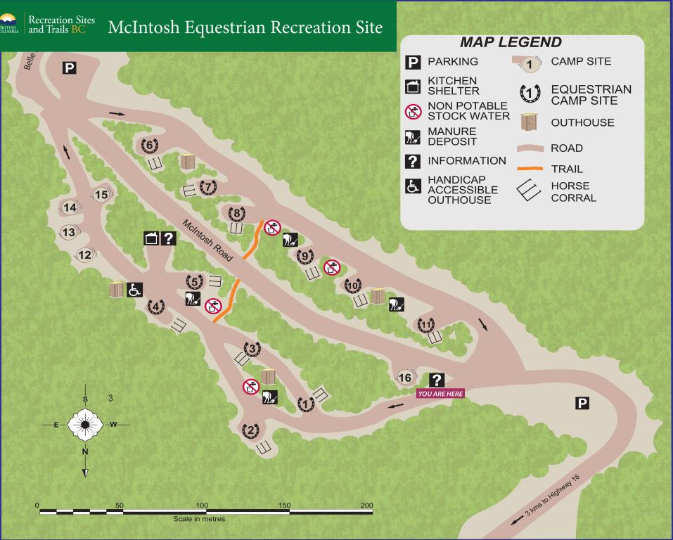
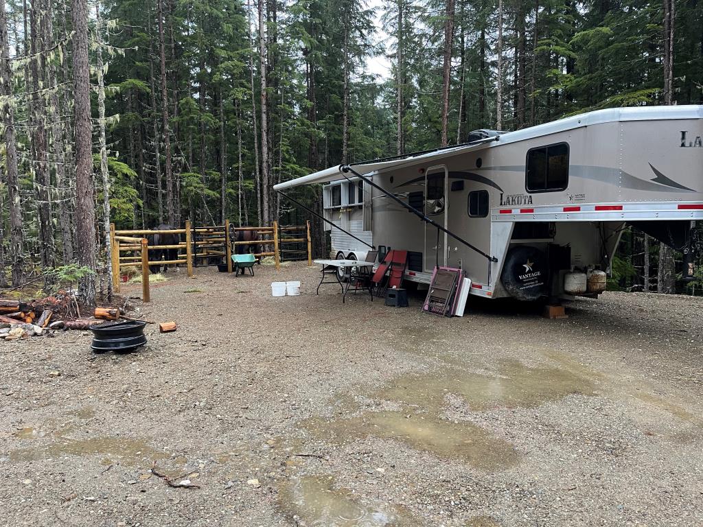
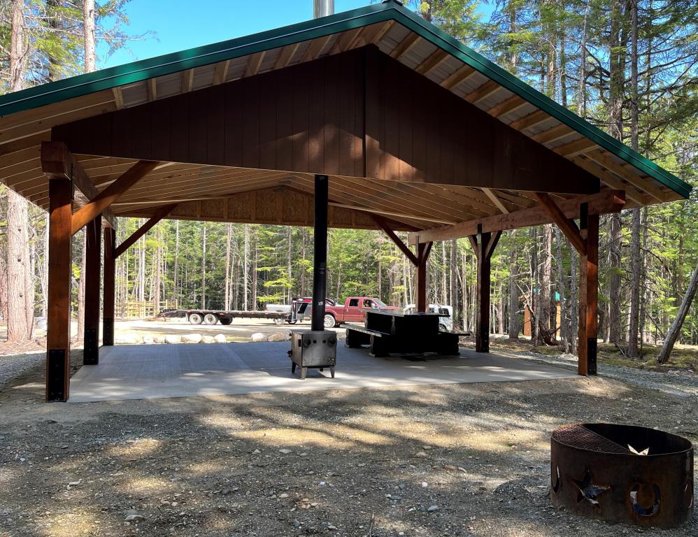
Belle Mountain Equine Trails and McIntosh Equestrian Camp
Note: Also check under Files Maps Upload/Download tab to see if there are more maps available. If the map below shows red lines, these indicate ridable trails which can be downloaded to your GPS (see Files Maps Upload/Download tab)
Legend
Belle Mountain Equine Trails and McIntosh Equestrian Camp Comments Want To Get Involved? Post Comment
tom ward
camping and riding posted on: 10 / 22 / 2025
can the site be reserved?? No this site is a BC Recreation Site and is a First Come First Serve.
Kathy McCartney
Stay at McIntosh Equestrian camp posted on: 08 / 18 / 2025
Lovely equestrian camp. Beautiful trails
Note: All of our Geo-Referenced PDF maps are available for free from the Avenza from the Map Store. These maps can be used with the Avenza Maps app on GPS enabled Smartphones and tablets.
GPX Upload
Rode this trail? Show the HCBC Trail Community Which Route You Ride
HCBC monitors the integrity of the GPX files uploaded prior to posting on this website. We will contact you via your email if your track is suitable for an Avenza Map.
Name:
Email:
Image Upload
Saw Something Cool? Share it with the HCBC Trail Community
HCBC monitors the integrity of all images and comments posted on this website. Please allow us 24 hours to review the Images uploaded for this trail before they appear on our website. Thank you
Additional files to Download
Geo-Ref maps for Avenza Maps App on mobile devices
Note: If you are on a computer, you can print these maps. If you using a mobile device, then these maps are available to download from the Avenza Map Store within the Avenza app.


